


Using the DJI Matrice 4T for Smarter Public Safety Operations
[Billy with Matrice 4T]
Responding to emergencies across New Zealand’s steep gullies, dense bush, and coastal areas requires rapid, accurate information. Ground search teams and helicopter support remain essential for frontline safety. However, gaining a clear view from above allows teams to assess the situation before sending personnel into hazardous terrain.
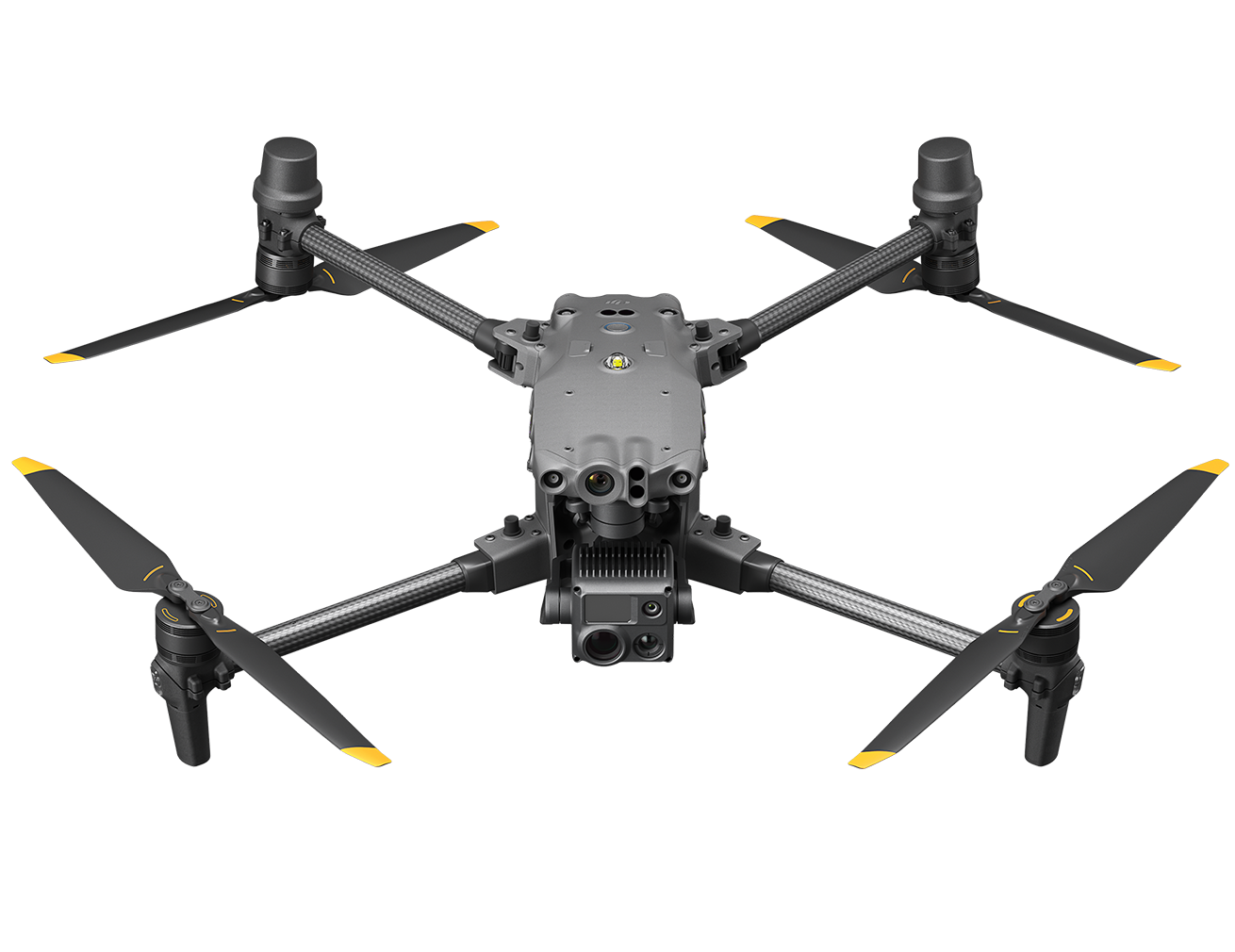
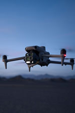
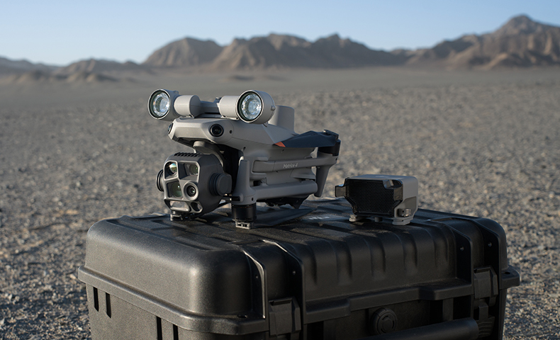
The DJI Matrice 4T combines thermal imaging, high-resolution cameras, and a laser rangefinder in a compact platform designed for rapid deployment. Weighing approximately 1.2 kg, the aircraft can be deployed and airborne in approximately 30 seconds. It offers a maximum flight time of up to 49 minutes and can handle wind resistance up to 12 m/s.
Search and Rescue Across Difficult Terrain
Searching for a missing person across large areas takes significant time, particularly when dense vegetation or limited access slows ground teams. An aerial search provides another way to cover these areas and investigate areas of interest.
The Matrice 4T's 640×512 radiometric thermal camera detects differences in surface temperature, helping operators locate potential human or vehicle heat signatures. High-Res mode provides output up to 1280×1024 for further detail.
When an area of interest is identified, the 48 MP telephoto camera, with a 168mm equivalent focal length, can be used to examine it from a distance. The camera reliably resolves fine details, such as signage or clothing, from distances of up to 250 metres. The 48 MP medium telephoto camera, with a 70mm equivalent focal length, provides an intermediate field of view for closer subjects.
Aerial Awareness During Incident Response
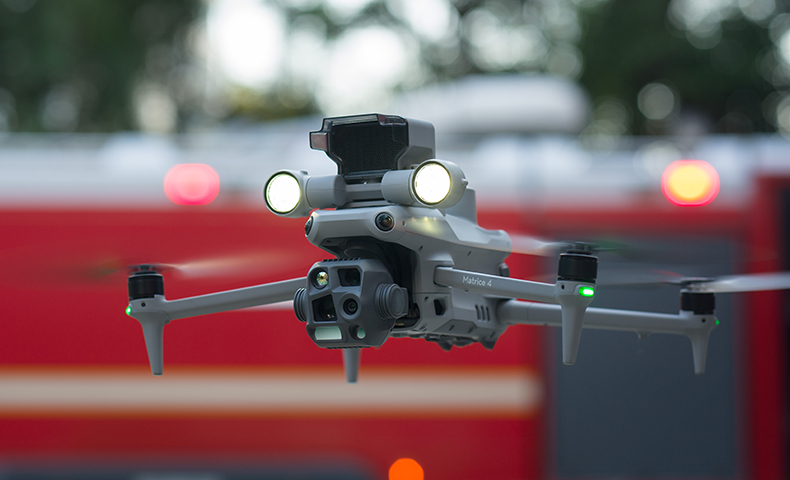
Public safety operations frequently involve rapidly changing conditions, such as vegetation fires, severe weather events, or flooding. Live aerial video from the Matrice 4T gives response teams a wider view of the area as an incident develops.
Operators can assess perimeters, monitor fire lines, evaluate flood extent, and check access routes. This provides additional information that incident commanders can consider alongside reports from ground teams.
Synchronised Light and Sound
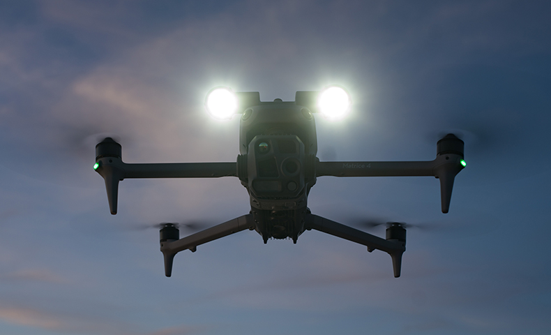
Managing an active incident often requires direct interaction with subjects or crowds on the ground. You can pair the Matrice 4T with the DJI AL1 Spotlight and AS1 Speaker to add direct communication and illumination to your operations.
The AL1 Spotlight provides illumination at distances of up to 100 metres, while the AS1 Speaker can broadcast audio over distances of up to 300 metres. These are practical capabilities that assist with search and rescue, emergency response, and securing public events.
Supporting Night Operations
Emergency response operations continue long after daylight, when low light, smoke, and deep shadows make conventional visual searching difficult. The Matrice 4T's integrated Near-Infrared (NIR) auxiliary light provides illumination up to 100 metres away, assisting the optical cameras in dark environments.
Night Scene Mode provides enhanced low-light processing and noise reduction, while the IR-Cut Filter can be disabled in low-light conditions to improve optical light sensitivity. Combined with thermal imaging, these capabilities give operators multiple ways to identify subjects when visibility is limited.
Pinpointing Locations for Ground Teams
Finding a subject is only part of the response; communicating that exact location to ground personnel is just as important. The Matrice 4T features a built-in Laser Rangefinder with a measurement range of up to 1,800 metres.
Using the PinPoint feature, an operator can obtain the geographic coordinates and elevation of a selected point. This location can be shared via a QR code from DJI Pilot 2 or synced directly to DJI FlightHub 2, giving ground teams a precise location rather than relying on a general description.
Tracking Moving People and Vehicles
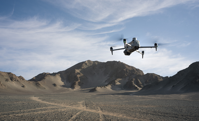
Some incidents require operators to monitor subjects as they move through an area. Smart Track provides AI-assisted tracking of people and vehicles, helping the operator maintain visual awareness of a moving subject while ground teams coordinate their approach or monitor a developing situation.
[Billy with Matrice 4T]
Public Safety Support from Ferntech
Every public safety operation has different requirements. The right aircraft, payload, and workflow depend on the environment and the task at hand. Ferntech works alongside police, search and rescue organisations, emergency management agencies, and local authorities to integrate aerial technology into existing workflows.
As an authorised DJI Enterprise partner, Ferntech provides guidance on aircraft selection, payload configuration, operational training where applicable, and ongoing support through our local New Zealand servicing centre.
Contact Ferntech to discuss your public safety requirements or arrange a consultation with our team about a Matrice 4T solution for your operational needs.
SPEAK WITH A SPECIALIST
Contact our team today to discuss the right solution for you.