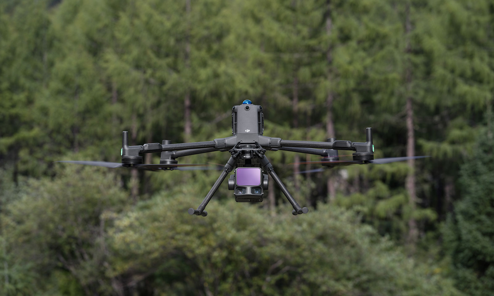
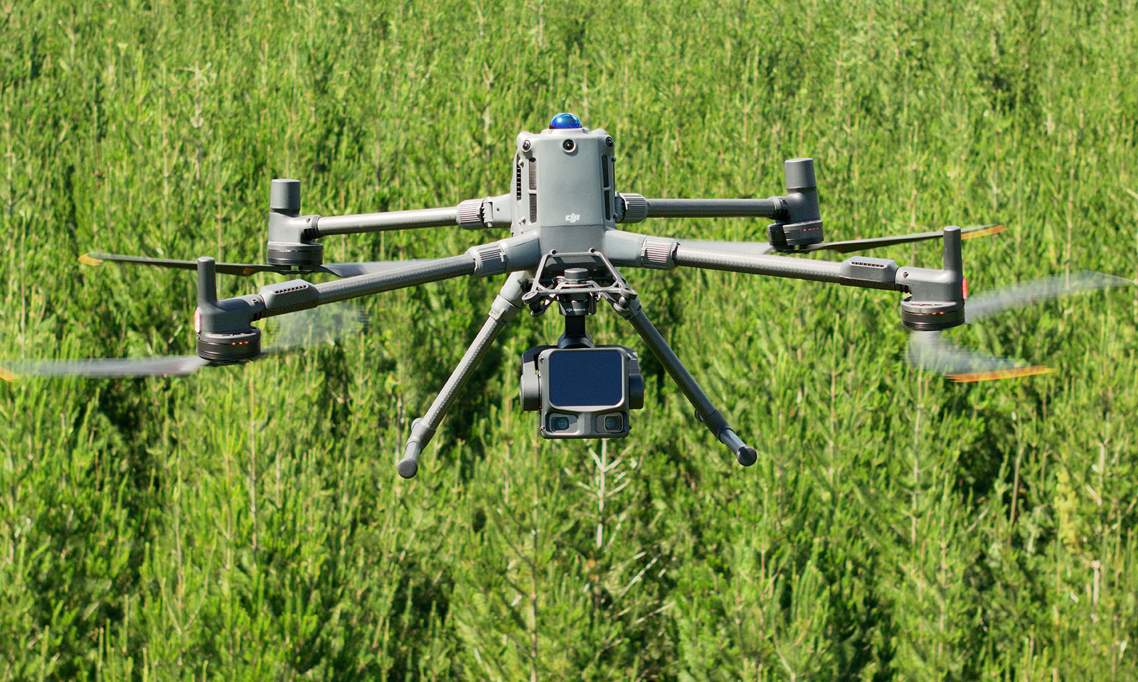
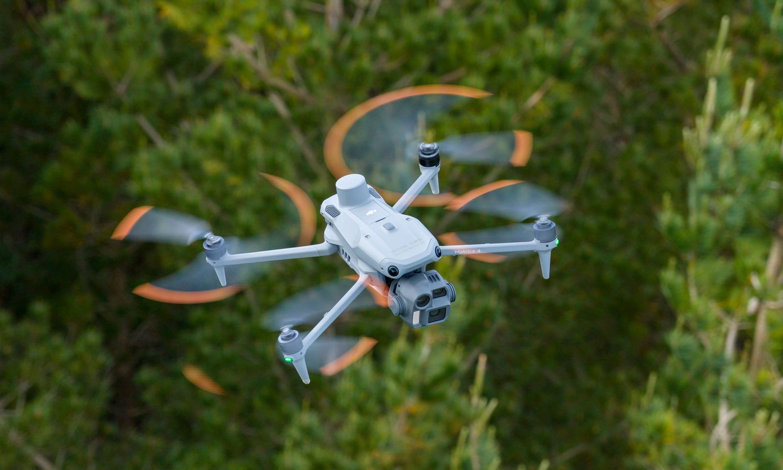
See more. Plan Smarter. Harvest with Confidence

Ferntech supports forest managers, contractors, landowners, and kaitiaki working across commercial forests, native bush, carbon farms, and catchment zones.  Our drone-enabled workflows offer a safer, faster, and more accurate way to monitor forest health, plan harvests, meet environmental requirements, and track activity on the ground. 

By pairing proven DJI systems with local technical support, practical training, and a deep understanding of forestry conditions, we help you reduce risk, improve visibility, and make smarter, more informed decisions in the field.

We help you solve

  • Long, risky field walks through remote or hilly terrain
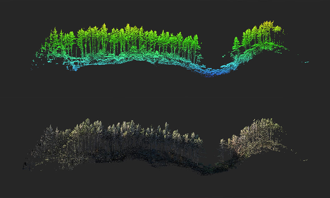
  • Gaps in data for growth modelling, canopy health, or storm damage
  • Pressure to verify and report against carbon or biodiversity plans
  • Manual inspections that take days and slow down decisions
  • Limited insight into track conditions or loading infrastructure post-weather event

What you can capture

  • Forest Health Monitoring: Detect disease, pest pressure, or nutrient stress early using high-res and multispectral imaging
  • Growth & Inventory Assessment: Estimate stand density, canopy height, and biomass for better yield and harvest planning
  • Infrastructure Checks: Quickly assess road, culvert, and skid site conditions after storms or during wet periods
  • Harvest Planning: Map terrain, slopes, and runoff risks to support safe, efficient logging operations
  • Environmental Oversight: Track change across riparian margins, native bush, and biodiversity sites with repeatable flight paths

Where it’s used

  • Pine plantation growth tracking
  • Post-cyclone or storm damage checks
  • Harvest scheduling and verification
  • Carbon credit baseline and audit imagery
  • Mapping new access or skid trails
  • Monitoring of biodiversity and ngahere protection areas

Why Forestry Teams Choose Ferntech

  • Cut field inspection time by up to 80%
  • Safer access to steep or remote areas
  • Better data for environmental and carbon reporting
  • Easy integration with forestry and GIS platforms
  • Ongoing local support, custom training, and certified DJI servicing
"What used to take a field team two days, we now fly in two hours—with more detail and less disruption." — Forest Planner, Central North Island Forestry Group

What You Get with Ferntech

  • Drone application training for capturing correct data efficiently
  • Drone and payload fit for your forest type and data needs
  • Flight Support: Advice with planning, approvals, and Part 102
  • Training and onboarding for in-house or contractor teams
  • Local after-sales support, repairs, and DJI-certified servicing

How can we help?

-->