Drone Surveying and Mapping
Accurate, fast survey data every time
Aerial drone surveying solutions provide highly accurate digital deliverables for managers, surveyors and engineers, improving operations across the entire project lifecycle.
Do more work in less time
Our range of DJI Enterprise drone solutions enable timely decision-making, cost savings, enhanced personnel safety, and optimal efficiency through aerial data collection.
Pain Points
Advantages
✘ Field work is slow and inefficient using traditional surveying methods, increasing operational costs and on-site time requirements.
✓ Significantly reduce costs and save time by using affordable UAV solutions that automate data collection and processing.
✘ Traditional Surveying outputs lack visual references or low resolution, leading to a limited perspective of the landscape.
✓ Visualise results with accurate, high-resolution maps, point clouds, and 3D models.
✘ Collecting usable data in complex and remote areas is difficult and hazardous.
✓ Reduce personnel risk in hazardous environments with swiftly aerial data collection.
✘ Frequently tracking landscape changes is inefficient with traditional methods.
✓ Keep digital records that can be easily used for regular land cover comparisons, so teams can more easily and dynamically monitor changes.
CONTACT US FOR A QUOTE
Aerial Surveying Solutions
Portable Drone Surveying & Mapping Solution
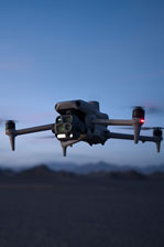
The DJI Mavic 3E brings a new meaning to efficiency, capturing images 4 times faster than its predecessors. With a larger sensor and improved camera shutter speed, it provides more accurate results in a quicker time frame.
✓ Portable solution, easy to carry and deploy.
✓ Centimetre-level data thanks to its mechanical shutter and RTK capability.
✓ Field-work efficiency – covers 2 km² per flight, delivering a 5cm GSD.
✓ Real-Time Terrain Follow feature to ensure high-quality data capture in challenging and variable terrains.
GET A QUOTE
Full-Frame High-Performance Surveying and Mapping Solution
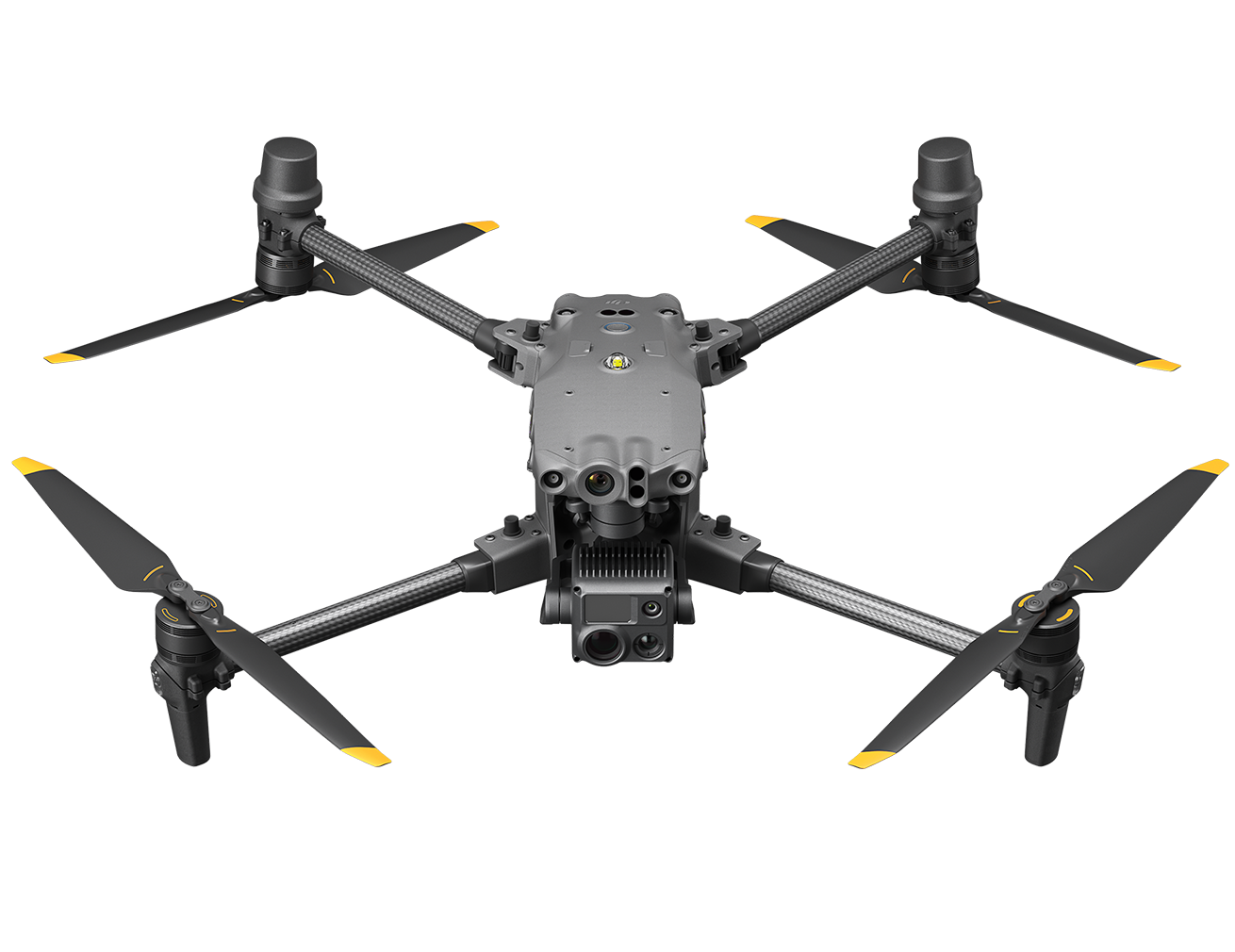
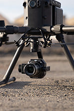
Matrice 350 RTK paired with the Zenmuse P1 provides centimeter level accuracy with unreal image quality and resolution. The 45MP camera with full-frame sensor also incorporates interchangeable lenses to further improve accuracy or significantly improve data capture time.
✓ Generate accurate centimetre-level deliverables, significantly reducing ground control points.
✓ Field-work efficiency – covers 3 km² per flight, delivering a 5cm GSD.
✓ Reliable multi-purposed drone platform.
✓ Zenmuse P1 has a 45MP, full-frame sensor to ensure high-quality data collection.
GET A QUOTE
LiDAR Mapping Solution
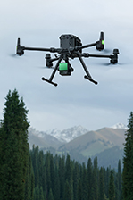
Matrice 350 RTK equipped with the Zenmuse L2 Frame-based LiDAR, can penetrate densely vegetated areas and obtain bare ground data. Increase aerial survey efficiency thanks to its integrated 4/3 CMOS RGB Mapping camera for simultaneous Point Clouds and photogrammetry data collection.
✓ Field-work efficiency – covers 3 km² per flight, collecting both LiDAR and photogrammetry data.
✓ Highly integrated solution, reducing on-site time and ensuring data capture quality.
✓ Reliable and robust multi-purposed drone platform designed to endure harsh environments and conditions.
✓ Accurate LiDAR Data. Achieve a vertical accuracy of 5 cm or less. Ideal for densely vegetated areas.
GET A QUOTE
Aerial Drone Surveying Software
Pix4Dmatic
PiX4Dmatic processes thousands of images while maintaining survey-grade accuracy, halving the processing time, without the trouble of splitting and merging. Developed in close collaboration with surveyors and mapping professionals to streamline your workflow: import, process, and assess the quality of a project in just a few clicks.
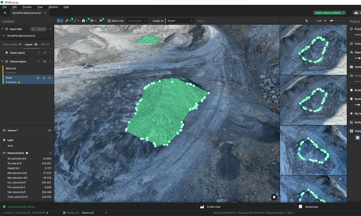
Pix4Dsurvey
Seamlessly export processed projects from Pix4Dmatic into PIX4Dsurvey to transform point clouds into actionable CAD-ready data. Pix4D's proprietary .bpc file format is optimised for loading and manipulation of big point clouds.
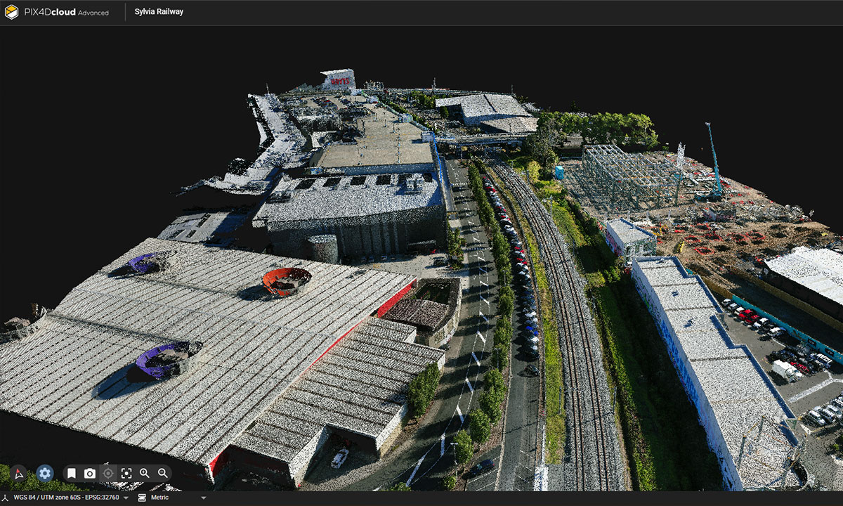
Pix4Dcloud
Pix4Dcloud is a comprehensive cloud-based platform. It allows users to upload, process, and analyse aerial imagery and 3D models directly from your web browser. Clients are able to view processed outputs in their web browser, eliminating the need for owning their own software.
DJI Terra
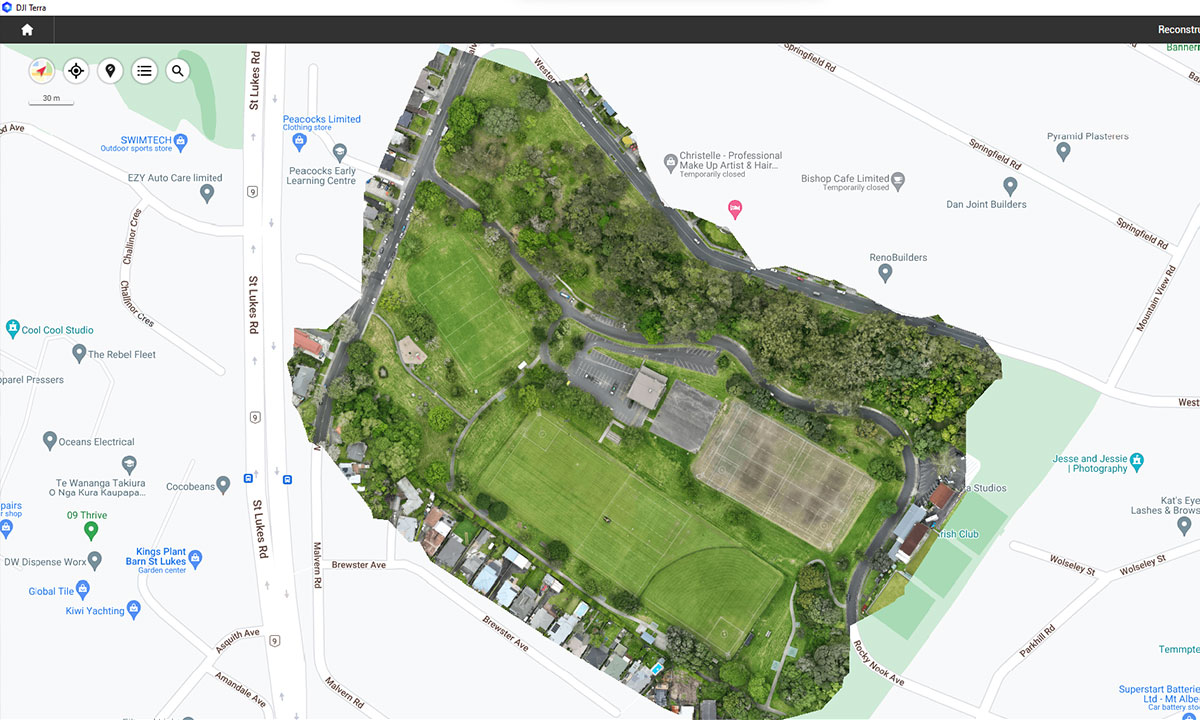
DJI Terra is a 3D model reconstruction software that has photogrammetry as its core technology. It supports a range of accurate and efficient 2D and 3D reconstruction of visible light, and data processing through DJI LiDAR. DJI Terra is a perfect match for DJI Enterprise drones and payloads.
Emlid
With the improved RTK capabilities of DJI drones and software, Ground Control Points can be incorporated to further improve accuracy. Emlid receivers can be setup as a base station to provide corrections to DJI drones or it can provide corrections to a rover (second Emlid unit) over the LoRA network for ground control. They can also be used as rovers through network RTK.
GET A QUOTE
Aerial Drone Surveying Deliverables
Orthomosaic Maps
3D Point Cloud
Drone images are corrected for image distortion and stitched together during post-processing to create a highly-accurate orthomosaic map. Each pixel contains 2D geo-information (X, Y) and can directly procure accurate measurements, such as horizontal distances and surfaces.
File formats: geoTIFF (.tiff), .jpg, .png, Google tiles (.kml, .html)
A densified point cloud can be generated from drone images. Each point contains geospatial (X, Y, Z) and colour information. It provides a very accurate model for distance (slant and horizontal), area and volume measurements.
File formats: .las, .laz, .ply, .xyz
Digital Surface Model (DSM)
Digital Terrain Model (DTM)
Drone images can also be used to create DSM models of the area. Each pixel contains 2D information (X, Y) and the altitude (Z value) of the highest point for this position.
File formats: GeoTiff (.tif), .xyz, .las, .laz
After filtering objects such as buildings, the drone images can be used to create DTMs with each pixel containing 2.5D information (X, Y, and Z value of the highest altitude).
File formats: GeoTiff (.tif)
3D Textured Mesh
Contour Lines
The 3D textured mesh is a reproduction of the edges, faces, vertices and texture of the area shot by the drone. This model is most useful for visual inspection or for when external stakeholders or public involvement is essential for a project.
File formats: .ply, .fbx, .dxf, .obj, .pdf
Depending on the project requirements, either the DTM or DSM model, with custom contour intervals, can be used to create a contour lines map, giving you a better understanding of the surface of the area shot by the drone.
File formats: .shp, .dxf, .pdf
“We’ve been buying drones, cameras, and liDAR systems off Ferntech for a number of years, and they also handle our 102 servicing. They’re a switched on team, very quick to respond to any questions we have about utilising their technology, and it’s been great to work with them.”
– Jeremy Neilson, Managing Director, Recon
Additional Drone Surveying Resources
To help you with your decision making around drone surveying, we have prepared some articles that highlight the practical applications possible with this technology, as well as the different options available to you.
Case Study: Using Drones and LiDAR for Slip Surveying
Case Study: How to Use Drones for Stockpile Measurement
Case Study: How BBV is Using DJI Drones to Save £5 Million on HS2 Project
DJI Matrice 350 RTK vs Matrice 300 RTK
Ready for a quote, or need more information on one of our leading drone surveying solutions?
GET IN TOUCH
Top of the Page
SPEAK WITH A SPECIALIST
Contact our team today to discuss the right solution for you.