


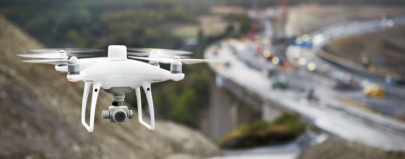
Phantom 4 RTK
The DJI Phantom 4 RTK is a purpose-built drone to provide the most compact and accurate low altitude mapping solution. DJI has rethought its drone technology from the ground-up, revolutionising its systems to achieve a new standard for drone accuracy — offering Phantom 4 RTK customers centimetre-accurate data while requiring fewer ground control points.
The technology allows users to combine and contrast position data captured from a virtual or physical base station. The Phantom 4 RTK’s camera geotags the centimetre-level precision data into the image. Radial and tangential lens distortions are measured for every Phantom 4 RTK’s camera to have its unique distortion parameters and write these distortion parameters into the image for post-process calibration.
The system was designed by looking at the requirements from the drone mapping and surveying market and building what they wished for — a small drone solution with a high-resolution camera and the ability to capture centimeter-accurate RTK data.


