

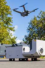
Improving Farm Management with the DJI Matrice 4 Series
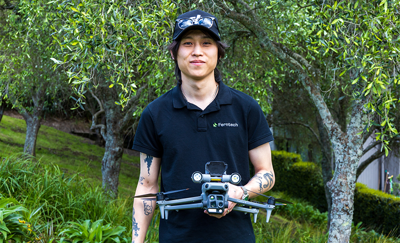
Managing large, hilly or remote New Zealand properties presents ongoing logistical challenges. Routine tasks such as checking stock, inspecting water infrastructure and monitoring pasture condition require navigating difficult terrain on quad bikes or 4WDs, particularly during busy seasonal windows or following bad weather.
Traditional ground inspections remain essential for hands-on stock management and physical maintenance. However, covering large acreage on foot or by vehicle consumes time and adds wear to farm tracks during wet conditions.
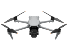
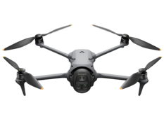
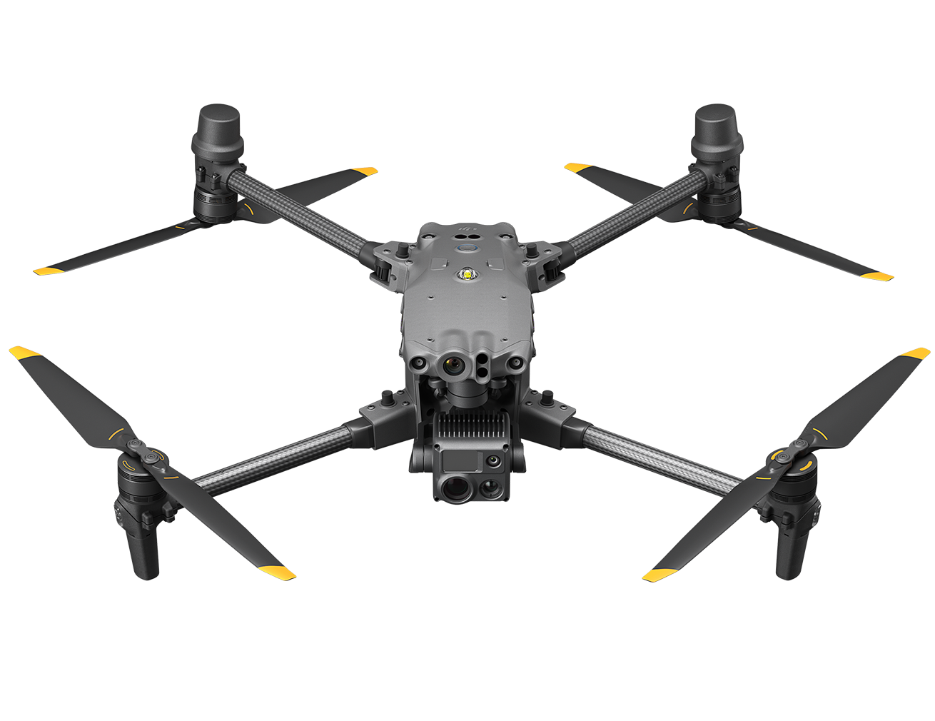
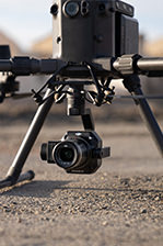
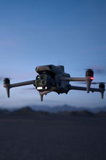
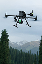
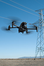
DJI drones offer a practical complementary option for farm teams, agronomists and land managers. Rather than replacing ground staff, farm machinery or specialist agricultural equipment, platforms such as the DJI Matrice 4 Series provide flexible, manually operated tools deployed on demand. By capturing visual and thermal data without requiring personnel to access the paddock directly, these aircraft give farm management better information to decide where physical time and equipment should be directed.
Property Mapping and Spray Planning with the Matrice 4E
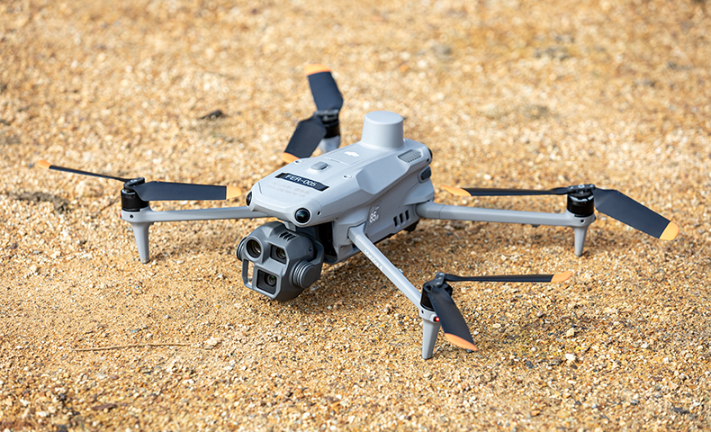
Accurate spatial information drives informed decisions about land use, paddock design and crop input management. The DJI Matrice 4E is designed for efficient aerial mapping, featuring a 20 MP 4/3-inch CMOS wide-angle camera with a mechanical shutter. The mechanical shutter reduces motion blur during high-speed mapping flights, allowing operators to cover large areas efficiently.
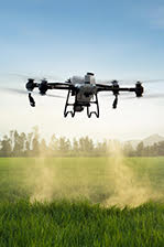
When paired with an onboard RTK module, the Matrice 4E provides high-resolution aerial imagery for property mapping, earthworks planning and tracking paddock changes over time. In agricultural workflows, the Matrice 4E maps the paddock or area of interest, capturing detailed aerial imagery across the land. The resulting data can be processed into orthomosaics and used to create field maps or prescription maps for more targeted agricultural applications. These maps can then support more targeted spraying or spreading operations when deploying a DJI Agras agricultural drone.
Visual and Thermal Farm Inspections with the Matrice 4T
Daily farm management requires keeping track of stock, water supplies and boundary infrastructure across expansive paddocks. The multi-sensor payload on the DJI Matrice 4T provides visual and thermal capabilities to support these routine checks.
Equipped with a 48 MP telephoto camera with up to 112x hybrid zoom and capable of reading a number plate from 250 metres away, the aircraft allows operators to check remote water tanks, troughs, gates and fences from a distance, avoiding unnecessary vehicle trips across wet or steep ground. For stock monitoring, the radiometric 640×512 thermal camera helps operators locate animal heat signatures in gullies, tree blocks or dense scrub. This proves particularly useful during early morning stock checks or after severe storm events. Thermal imaging captures surface temperature variations as indicators of interest, which farm teams then verify with ground inspections.
To facilitate early morning or late evening operations, the Matrice 4T includes an integrated Near-Infrared (NIR) auxiliary light with an illumination range up to 100 metres, alongside low-light visual processing. These features allow operators to monitor animals or identify areas of interest in scrub and difficult terrain during low-light conditions.
Supporting Practical Farm Decisions
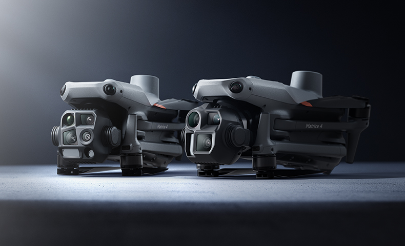
Aerial data delivers the most value when it coordinates day-to-day work. Both aircraft in the Matrice 4 Series feature a built-in Laser Rangefinder with an operational range of up to 1,800 metres. During flight, operators use the PinPoint feature to mark a specific location, such as a leaking water pipe, broken fence line or area requiring weed management.
The system can provide the geographic coordinates and elevation of the target, which operators share via the DJI Pilot QR code or sync directly to DJI FlightHub 2. This capability allows farm managers to communicate the exact location of areas requiring further investigation to staff or contractors, directing targeted follow-up work on the ground.
Discuss Your Agricultural Requirements with Ferntech
Integrating enterprise drone technology into farm management requires selecting the right equipment and establishing practical workflows.
As an authorised DJI Enterprise partner, the Ferntech team works alongside New Zealand farmers, corporate agricultural operations and agronomy providers to evaluate where aerial data fits into daily operations. We provide practical guidance on aircraft selection, RTK integration, mapping software, operational training and long-term support through our local servicing centre.
Contact our commercial team today to discuss your farm management requirements or request a technical consultation.
SPEAK WITH A SPECIALIST
Contact our team today to discuss the right solution for you.