


Supporting Geospatial Workflows with the DJI Matrice 4E
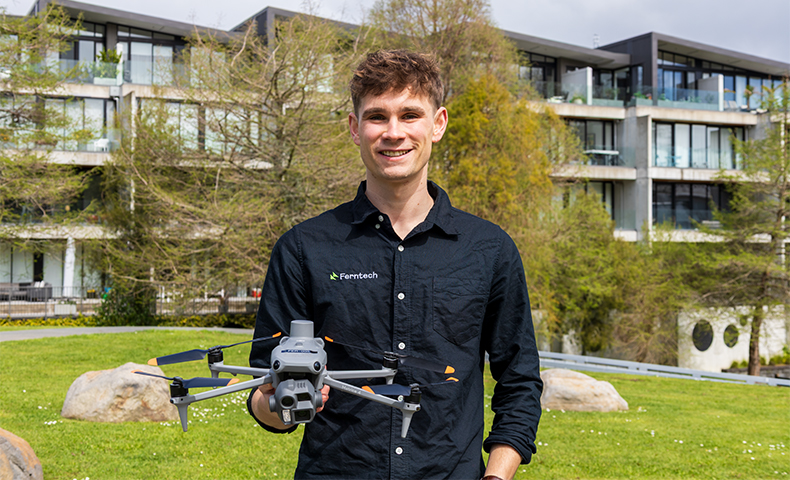
Accurate spatial data is essential for land development, civil engineering, mining and infrastructure projects. Traditional ground surveying methods remain fundamental for establishing legal boundaries, verifying control networks and conducting precise physical measurements. However, mapping expansive sites, active quarries or steep New Zealand terrain on foot can involve significant time on site and exposure to hazardous conditions.
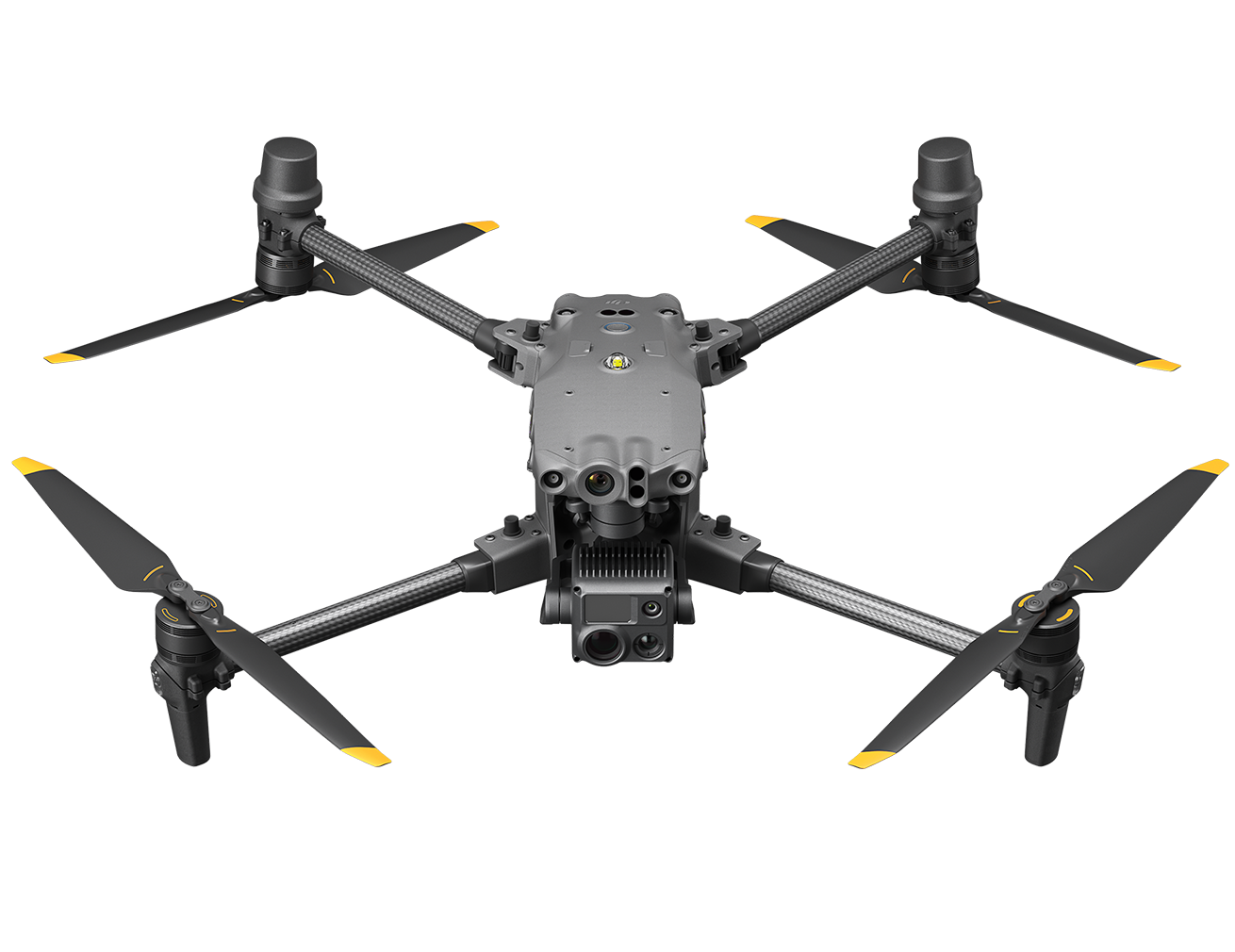
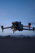
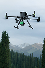
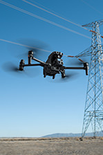
Unmanned aerial vehicles (UAVs) provide an efficient complementary tool for geospatial professionals. Rather than replacing qualified surveyors or established ground equipment, platforms such as the DJI Matrice 4E support existing workflows by capturing detailed aerial data across large, difficult or changing environments. This allows surveying and engineering teams to gather comprehensive site data, monitor earthworks progress, calculate stockpile volumes and produce topographic maps and 3D models for integration into CAD and GIS workflows.
High-Speed Aerial Data Collection
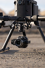
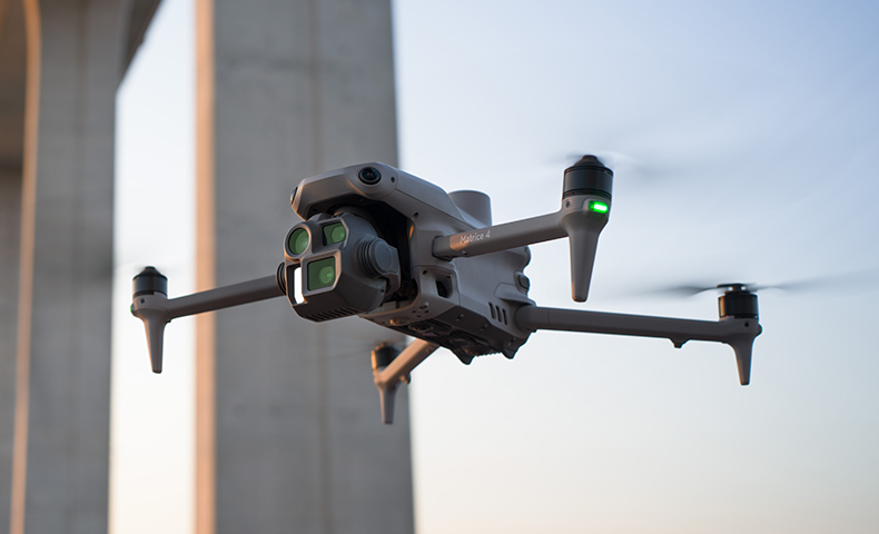
To integrate effectively into professional spatial software, aerial imagery must be crisp, clear and reliable. The DJI Matrice 4E features a wide-angle camera equipped with a 20 MP 4/3-inch CMOS sensor and a mechanical shutter. The mechanical shutter helps reduce motion blur during high-speed mapping flights, allowing the aircraft to operate at speeds up to 21 metres per second.
When paired with the onboard RTK module, the platform captures location data that supports efficient mapping workflows and reduces the need for dense ground control point (GCP) networks. While final project accuracy always depends on the overall survey methodology, flight conditions, processing techniques and project requirements, this setup helps teams capture site data efficiently while supporting consistent, high-quality data capture.
2D Capture for High-Efficiency Topographical Mapping
Capturing high-resolution 2D orthomosaics and flat terrain maps over expansive sites often requires maximising coverage without sacrificing image overlap. The DJI Matrice 4E optimises 2D workflows using smart orientation capture modes.
For standard topographical mapping, 3-directional ortho capture collects lateral images during orthophoto flights, significantly reducing the lateral overlap required in flight planning. Combined with a rapid 0.5-second shooting interval and high speed, a single flight can capture mapping data across an area of up to 2.8 square kilometres. This efficiency makes 2D capture with the Matrice 4E ideal for mapping large subdivisions, updating as-built documentation for infrastructure, and conducting routine site surveys quickly.
3D Capture for Complex Sites and Vertical Structures
Surveying vertical structures, high-wall faces, or irregular earthworks stockpiles requires multi-angle image capture. The Matrice 4E supports dedicated 3D capture features to model complex assets accurately:
5-Directional Oblique Capture: Allows the gimbal to rotate and capture imagery from multiple angles along a single flight path, replacing the need to fly multiple overlapping grid routes over large or complex sites.
Smart 3D Capture: Enables operators to generate an initial rough model directly on the remote controller. Based on this preliminary scan, the flight system automatically plans detailed follow-up flight routes close to the structural surface.
This capability assists teams with capturing close-range visual data to support volumetric calculations, facade inspections, and highly detailed 3D modelling of complex infrastructure.
In-Camera Calibration and Flight Reporting
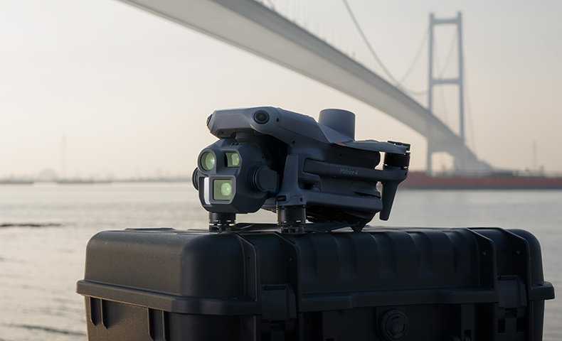
Data consistency is critical when transferring field data into processing software like DJI Terra. The Matrice 4E incorporates Distortion Correction 2.0, providing factory-calibrated in-camera distortion correction that keeps residual distortion below two pixels. This in-camera correction supports clean data ingestion, aiding subsequent 2D orthomosaic and 3D model generation.
At the conclusion of a mission, the DJI Pilot 2 application generates a survey quality report on the remote controller. This provides immediate visibility of key parameters, including RTK positioning status and photo point data, allowing operators to review flight data before leaving the site.
Discuss Your Geospatial Requirements with Ferntech
Integrating enterprise drone technology into surveying and mapping operations requires appropriate hardware selection, software alignment and technical support.
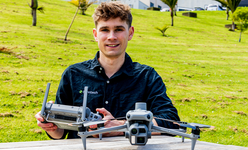
As an authorised DJI Enterprise partner, the Ferntech Geospatial Solutions Team works with New Zealand surveyors, engineers and asset managers to evaluate where aerial data can complement existing workflows. We offer practical guidance on platform selection, RTK integration, processing software, operational training and long-term support through our local servicing centre.
Contact our commercial team today using the below form to discuss your mapping requirements or request a technical consultation.
SPEAK WITH A SPECIALIST
Contact our team today to discuss the right solution for you.