


Forestry
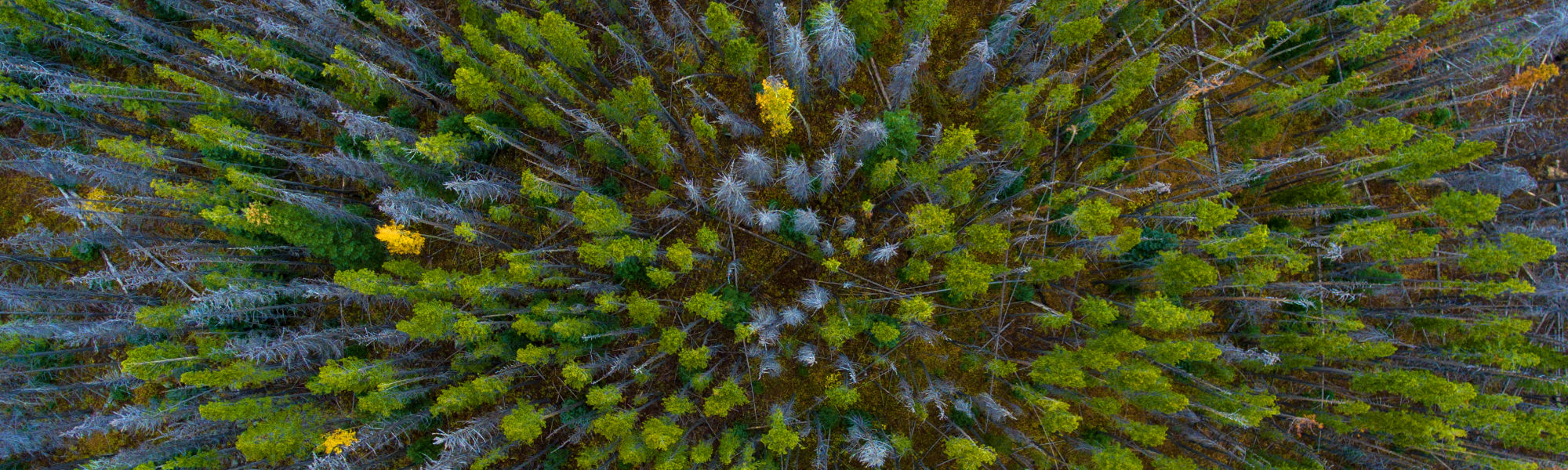
Remotely sensed data is widely used in the forestry sector. This information has been largely sourced from satellite or airborne sensors, but recently unmanned aerial vehicles (UAVs) have emerged as a new platform for acquiring remotely sensed data. In contrast to satellites and aircraft UAVs are relatively inexpensive and can be rapidly deployed to collect data for repetitive forest activities.
Drones are effective for rapid assessment of post-storm wind damage in forests and for updating stand records. UAVs or drones can be used in automated cutover detection to monitor harvesting progress using edge detection algorithms. For planting stocking and survival assessments, drone operations showed reliable estimates of stocking and establishment success can be made from the data collected. Evaluation of UAVs for post-harvest waste assessment can also show that the imagery that appeared are well-suited to the assessment of post-harvest waste volume.
DJI Ferntech aims to bring these capabilities to New Zealand to help in the rapid assessment and protection of our unique ecosystem. Call our commercials team to learn more.


Contact for Pricing


