Fast Data. Accurate Insights. Safer Sites.

Ferntech empowers surveyors, engineers, and spatial planners across land development, infrastructure, and environmental sectors with drone-enabled workflows that streamline data collection and improve project outcomes.

Our solutions deliver fast, repeatable, and safe geospatial data — reducing time spent in the field while improving data quality.

Combining world-class aerial platforms with technical experience, deep industry knowledge and trusted local support, Ferntech makes it easier to capture the insights you need to move projects forward with confidence.

We're proud to be the country's exclusive distributor of DJI Enterprise drone systems and New Zealand's only certified commercial repair centre.

Our Solutions Help You Solve

  • Slow, manual ground surveys: Traditional methods can take days and often miss critical elevation and terrain detail.
  • Workflow Integration: We help you easily integrate drone-captured data into your GIS, CAD, or BIM environments.
  • Inconsistent data: Improve data quality and consistency to support faster approvals, design decisions, and plan changes.
  • Project delays from access or weather: Drone workflows reduce the impact of site accessibility and weather disruptions.
  • High-risk terrain: Where crews face slips, slopes, or riverbanks.
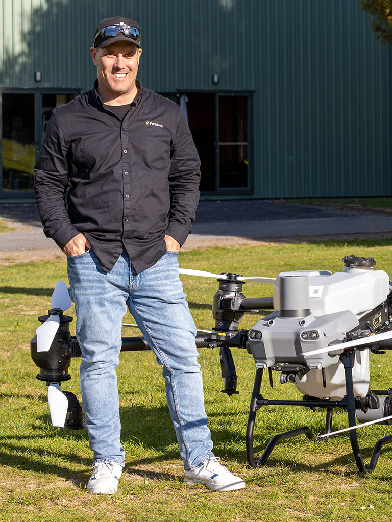
“We use our drone weekly in all weathers for our survey mapping and photogrammetry. It is a great asset to our organisation — an awesome machine with incredible capability”
— Phill Cook, Greater Wellington Regional Council

What you can capture

  • Orthomosaic Maps:
    2D top-down maps that are high-resolution, georeferenced images providing a true-to-scale visual representation of a site.
  • Digital Terrain Model (DTM):
    Represents the bare ground surface by removing buildings, vegetation, and other surface objects. Used for accurate earthworks planning, drainage design, and environmental analysis where true ground elevation is required.
     

Volumetrics and Contour Lines

  • Volumetrics & Cut/Fill:
    Calculate stockpile and material shifts—reduce guesswork, track progress, and optimise planning for excavation, stockpile management, and site grading with no boots on the ground.
  • Contour Lines:
    Illustrates the shape and slope of the land. They are essential for understanding terrain changes, planning earthworks, and designing infrastructure on varying landscapes.
     

DSM + 3D Point Cloud

  • Digital Surface Model (DSM):
    Captures surface elevation including features such as buildings, vegetation, and terrain. Ideal for applications like line-of-sight analysis, flood risk assessment, and site planning where above-ground detail is critical.
  • 3D Point Cloud:
    Generate high-density point clouds and meshes for detailed modelling, volume measurements and site planning.
 

Why Surveying Teams Choose Ferntech:

  • Specialist Advice & Support: Get expert guidance from a team that understands surveying workflows and delivers practical, real-world solutions.
  • Fit-for-Purpose Drone Systems: Access industry-leading drone platform recommendations tailored for accurate, efficient geospatial data capture.
  • Faster, Safer Project Outcomes: Improve data quality, reduce field time, and safely survey complex or hard-to-reach terrain.
    Certified Local Servicing and support: Benefit from New Zealand’s only certified DJI repair centre, with fast, reliable service and technical support.
  • Seamless Integration & Training:
    We provide hands-on training to capture accurate data and integration into your GIS, CAD, and BIM workflows.

Ready to rethink how you survey? Book a 15-minute discovery session with a geospatial advisor.