Our Solutions Help You Solve
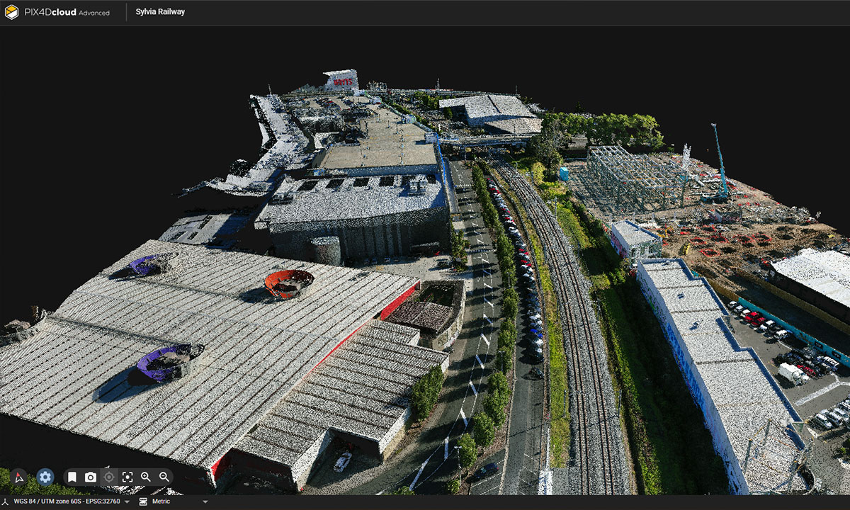
- Slow, manual ground surveys: Traditional methods can take days and often miss critical elevation and terrain detail.
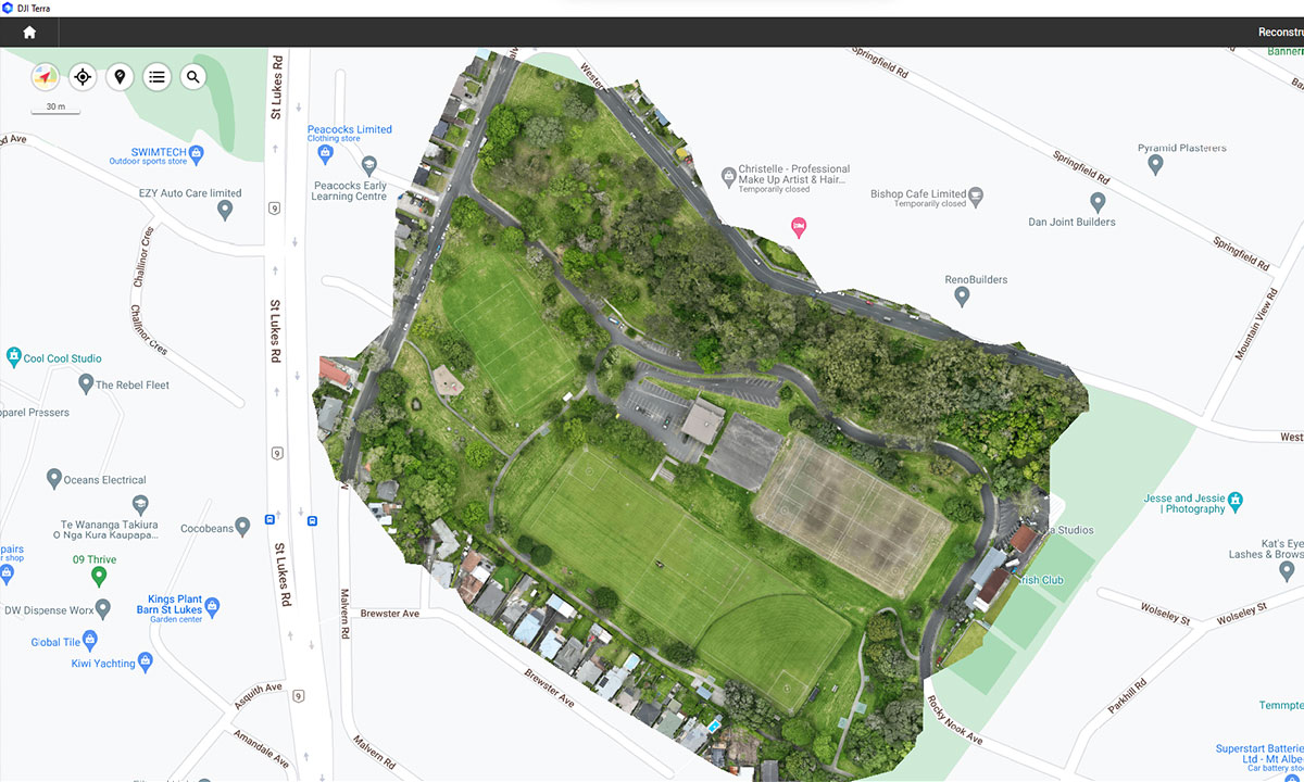
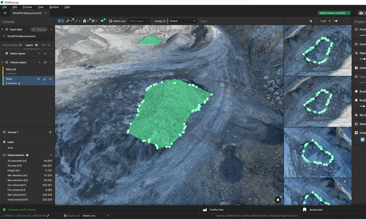
- Workflow Integration: We help you easily integrate drone-captured data into your GIS, CAD, or BIM environments.
- Inconsistent data: Improve data quality and consistency to support faster approvals, design decisions, and plan changes.
- Project delays from access or weather: Drone workflows reduce the impact of site accessibility and weather disruptions.
- High-risk terrain: Where crews face slips, slopes, or riverbanks.
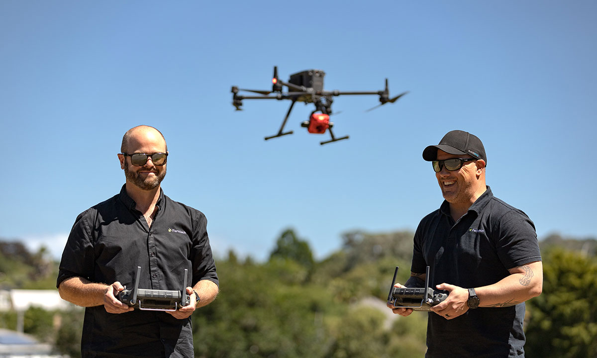
“We use our drone weekly in all weathers for our survey mapping and photogrammetry. It is a great asset to our organisation — an awesome machine with incredible capability”
— Phill Cook, Greater Wellington Regional Council


