Across New Zealand, the precise measurement of stockpiled material is an essential part of daily operations for a wide range of industries, including civil and construction, mining, recycling, shipping, and waste management. By implementing effective stockpile measurement techniques, businesses can accurately determine the volume, weight, and size of their bulk materials. With this information, site managers and workers can keep track of exactly how much material is being stored, shipped, and used at any given time.
But why is this so important, and what are the best stockpile measurement methods and practices? Read our full case study now to learn more, and see key examples of how new drone and software solutions are revolutionising this vital technique.
Contents
Why you need accurate stockpile measurements Stockpile measurement methods Creating a drone mission for stockpile measurement Pix4Dmatic for stockpile data analysis Creating a stockpile measurement Why you should use drones for stockpile measurement
1. Why you need accurate stockpile measurements
Cost management
Effective cost control is an essential part of every business or organisation – every dollar counts, and waste is not an option. But when workers are using guesswork or estimates to measure, the likelihood of wasted materials is inevitable. With traditional stockpile measurement methods, any moments of human error can be the difference between profit and loss. Using more advanced stock measurement methods, you can save money by:
- Reducing or eliminating excess inventory and its associated costs
- Eliminating wasted resources left over at the end of projects
- Predicting and managing future project expenses more accurately
Project management
Having correct, up-to-date project data can make the difference between hitting your key targets or being over time and over budget. Maintaining accurate stockpile measurements not only helps you keep track of your raw materials, but also allows you to better allocate other project resources, machinery, and labour.
Do you need more material for the coming week? Will you have excess that can be transported to another site to speed up completion? Can you free up manpower to get started on the next project stage? Maintaining accurate stockpile volume calculations gives you the information and transparency required to make smarter, faster decisions that impact your entire project.
Safety management
No worksite is without health and safety risk, and those potential risks increase when you introduce raw materials. The following variables can all impact the safety of your stockpiles:
- Site drainage and degree of moisture
- Position and configuration of the stockpile
- Mobile equipment in use
- Nature, stability, and volume of the stockpiled material
- Immediate, overhead, and surrounding environment
- Method of material retrieval
- Access to the stockpile
While effective stockpile measurement cannot completely eliminate hazards and risks, it can help you isolate and minimise them. With accurate volume data, you can limit the frequency collection, transport, and disposal of materials – your workers are only interacting with your stockpiles when absolutely necessary, reducing the possibility of health and safety incidents.
In addition, using more advanced measurement tools such as aerial drones provides even greater health and safety benefits. Instead of your workers walking the site and manually measuring your stockpiles, drones can avoid risks like slips, trips and falls, as well as any airborne risks such as dust or chemicals. The improved measurement efficiency and health and safety.
2. Stockpile measurement methods
There are several different methods of stockpile measurement data capture, each with varying degrees of accuracy. Below are some of the most common stockpile measurement methods, which are applicable across a wide range of industries.
Manual stockpile measurement
Before the introduction of more efficient and more accurate methods, manual stockpile measurement was carried out by measuring material by the truckload, eyeball estimations, or using a walking wheel. But even educated guesses fall short of the accuracy required for modern stockpile management, and should therefore be avoided unless there are no alternatives available.
GNSS rovers for stockpile measurement
GNSS receivers are a step up from manual stockpile measurement, delivering a higher degree of data accuracy and capture efficiency. Using a GNSS receiver and rover such as the Emlid Reach RS4 , a person can walk around a stockpile perimeter to capture its size, then walk up the stockpile’s slope to determine its height. By combining these measurements in a surveying software solution, they can generate centimetre-accurate data on the stockpile’s material volume.
Drones for stockpile measurement
Whether you’re using a camera or a LiDAR sensor, a drone is your best option for capturing the most accurate stockpile measurement data. But before you go ahead with any old drone, it’s important to make your selection based on two key factors: image clarity and data accuracy.
You can optimise your image clarity by using a drone with a large sensor, suitable lens, a mechanical shutter, and high megapixel count. When it comes to data accuracy, processing your data with RTK will result in higher Absolute Accuracy . Employing these tools alongside your chosen drone will help you maintain improved data accuracy as your stockpile volumes increase or decrease over time.
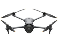
DJI Matrice 4E
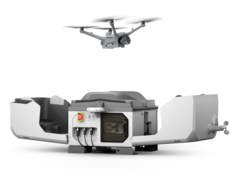
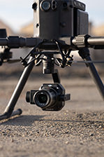
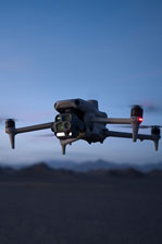
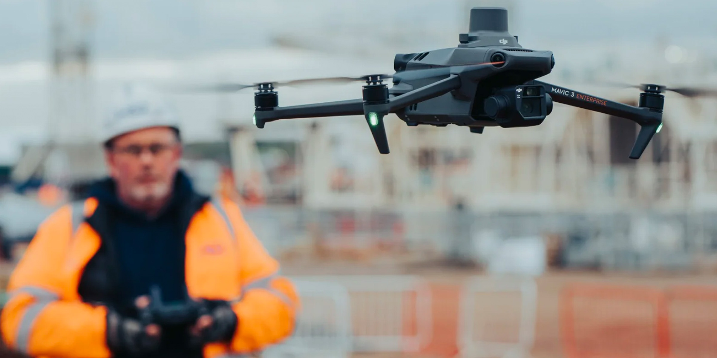
For many organisations measuring stockpiles, the DJI Matrice 4E is now one of the most capable and cost-effective surveying drones available. Equipped with a 20MP 4/3-inch CMOS wide-angle camera, integrated RTK positioning and a mechanical shutter, it captures highly accurate aerial imagery while minimising motion blur and rolling shutter distortion during flight. The Matrice 4E also introduces medium telephoto and telephoto cameras, making it easier to inspect stockpiles, structures and site features without needing to reposition the aircraft. Combined with intelligent automated flight planning and seamless integration with leading photogrammetry software, the Matrice 4E enables surveyors to quickly generate accurate stockpile volumes, terrain models and orthomosaics with centimetre-level accuracy.
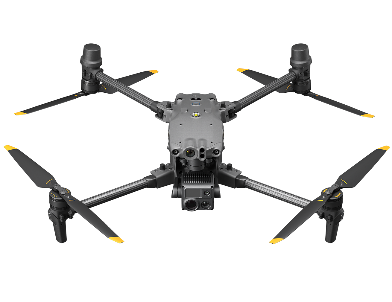
DJI Matrice 400 with Photogrammetry Payload
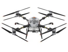
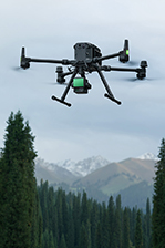
For larger, more complex sites or projects requiring greater productivity, the DJI Matrice 400 Photogrammetry Combo provides a powerful enterprise surveying solution. Designed for demanding commercial operations, it combines the Matrice 400 aircraft with a high-resolution photogrammetry payload capable of capturing detailed imagery for accurate mapping, volumetric analysis and digital terrain modelling. Its increased flight endurance, enhanced obstacle sensing and greater payload capacity allow operators to safely cover larger areas in fewer flights, improving efficiency while maintaining survey-grade accuracy. For organisations regularly undertaking large-scale stockpile surveys, mine sites or infrastructure projects, the Matrice 400 offers a highly scalable platform that can grow alongside changing operational requirements.
The Matrice 400 also has the ability to swap payloads, so if your site has dense vegetation covering the piles, stockpiles can still be calculated by utilising LiDAR for vegetation penetration. In this case, the Zenmuse L3 payload can help you gather highly accurate LiDAR point clouds and detailed RGB imagery, which can also be used for stockpile measurements.
3. Creating a drone mission for stockpile measurement
When calculating stockpiles, the recommended procedure for automated flights is to plan a mapping mission. Fortunately, both the Matrice 4E and Matrice 400 use the same flight app, DJI Pilot 2, so flight planning will be the same for both drones.
When viewing the DJI Pilot 2 app on your controller, select Flight Route on the right of the screen. Next, Create a Route, and when prompted, select Mapping.
Make sure the controller is connected to the internet, and then zoom to your site. Select the Camera, to generate an automated flight route. Drag the white dots on the border of the polygon to cover your desired flight area.
Once you have the polygon ready you'll need to observe some mission settings. Make sure Smart Oblique is off (stockpile data should only be captured nadir to ground), but toggle on Terrain Follow if you have large terrain changes. The DJI Matrice 4E supports Real-Time Terrain Follow for maintaining a consistent flight height over varying terrain, while a Digital Surface Model (DSM) can also be imported where required.
A flight altitude of around 250 feet above ground level is recommended for optimal stockpile image capture. Flying lower increases mission time, while flying higher can reduce the accuracy of Ground Control Point (GCP) or checkpoint identification.
The Matrice 4E offers up to 49 minutes of flight time, allowing smaller sites to be flown at lower altitudes for higher resolution imagery if required. In suitable conditions, flight speed can be set relatively high thanks to the drone's mechanical shutter and rapid image capture capabilities, enabling efficient data collection without compromising accuracy.
Elevation Optimisation should be turned off, as only nadir imagery is required for stockpile analysis.
Under the Advanced Settings you can change the Side Overlap and Front Overlap – we recommend leaving the defaults set (70% sidelap and 80% frontlap).
When ready, save the mission, then Play the mission. This will pull up the preflight checklist with the last few mission settings. On the second page, you can see the options for camera settings. For those getting started mapping we recommend using Auto mode.
If you are having issues with image brightness or slow shutter speed, you can set the camera to M (Manual) mode, change the shutter speed to 1/1000 minimum, and toggle off Dewarping. By locking the shutter speed at 1/1000 you can minimise motion blur, and adjust the ISO during flight if your images are too dark.
4. Pix4Dmatic for stockpile data analysis
Once you have successfully captured your stockpile measurement data with your chosen drone, you then need to process this information and generate reports. There are a few capable software options available, but the most common option used in the New Zealand market is from the team at Pix4D.
Developed in close-collaboration with surveyors and mapping professionals, Pix4Dmatic processes your drone imagery to generate a 3D model of your site.
5. Creating a stockpile measurement
VIDEO
Even with a high quality model of your site, accurately selecting a stockpile for further volume analysis can be a time-consuming exercise. Fortunately, there is a better way. As demonstrated in the above video, Pix4Dmatic has introduced a new auto-detect feature for quick and easy stockpile measurements. Below is a step-by-step process for using this game-changing feature.
To begin, select “Stockpile detection” from the drop-down menu at the top of the Pix4Dmatic screen.
You can adjust the radius and slope angle that the stockpile detection tool is looking for to suit the stockpile at hand.
You then click on your stockpile and Pix4Dmatic will automatically generate a boundary around the stockpile for calculating the volume.
Didn’t get the whole stockpile? Simply hold shift and click on the section that was missed and this will be added to your current stockpile measurement.
Once Pix4Dmatic has identified the stockpile, you can manually adjust the points generated if they are slightly out or you wish to exclude a certain part of the stockpile.
When you are happy with the selection, simply click calculate and Pix4Dmatic will calculate the total perimeter, cut volume, fill volume and net volume of the stockpile.
6. Why you should use drones for stockpile measurement
Faster measurements
Drones can cover a large amount of ground in a fraction of time of traditional methods – surveyors in New Zealand are able to cover 1000Ha’s in a day. At sites containing stockpiles, a drone can survey multiple different stockpiles in the time it would take a person to survey just one.
Higher measurement accuracy
A drone equipped with a photogrammetry or LiDAR enabled payload is able to make centimetre-accurate stockpile measurements by generating millions of points, compared to only dozens of points with traditional methods. Whether indoor or outdoor, no matter the size or makeup of the stockpile, a drone can more accurately collect data than any human-run survey solution.
Reduced project costs
As with traditional survey equipment, you will have the initial purchase cost of your drone package – but the ROI is worth it. Firstly, drones are a fraction of the cost of traditional equipment used in the industry, with better results. Second, you can cut down survey and measurement time by days or even weeks by using a drone. Additionally, since drone stockpile calculations are more accurate, the cost and expenses associated with excess inventory are regularly avoided.
Improved site Health & safety
A final area in which using drones for stockpile measurement can greatly benefit a company is by increasing worker safety. Drones also eliminate the need to have team members walking around in a high risk environment and near large machinery. By minimising exposure to the many stockpile-related risks mentioned above, drone-based stockpile measurement is the smart choice, saving you money, time, and lives.
As drone usage continues to increase across New Zealand, we will continue to support businesses and organisations looking to get the most out of this incredible technology. For more information or a quote for any of the drone or software solutions mentioned in this article, please get in touch with our team today – we’re happy to help.