


News & Case Studies
The world of drone technology is constantly shifting and evolving. Check out our blogs and case studies regularly to stay on top of the latest drone news, DJI product updates, and special offers from Ferntech.

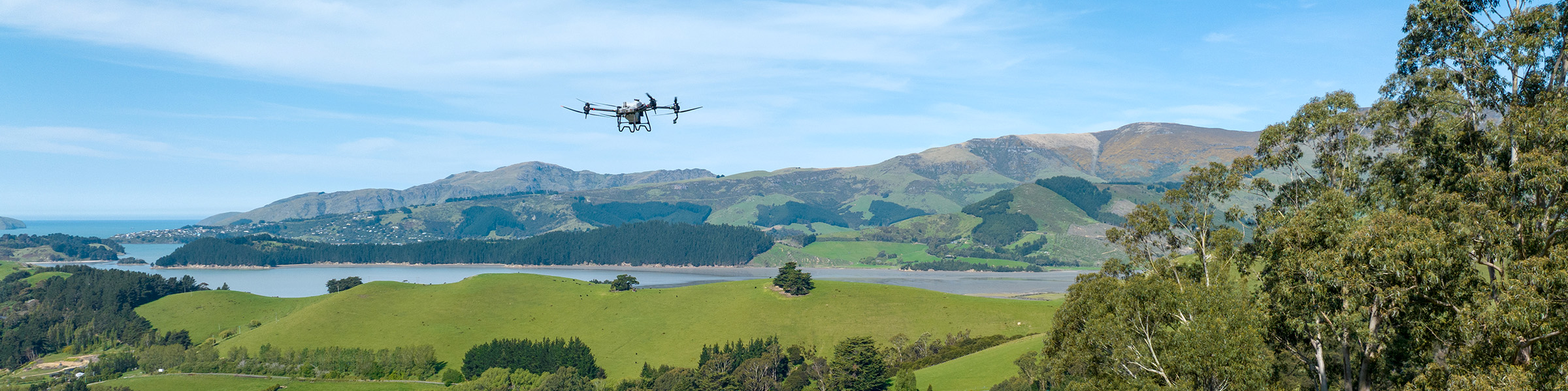
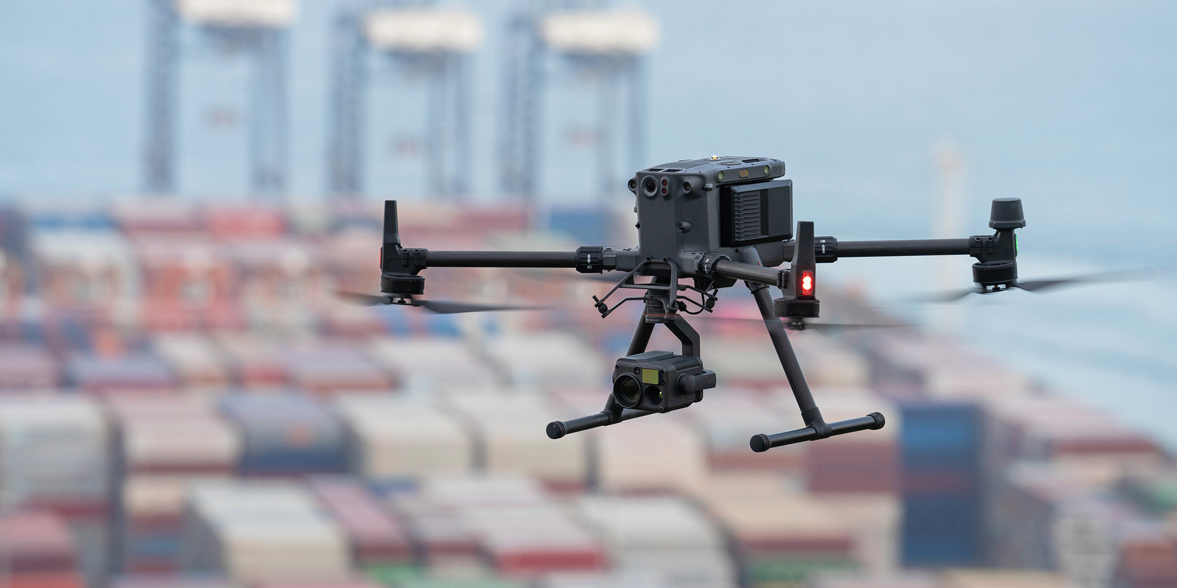
The DJI Matrice 400 builds on the success of the Matrice 350 RTK, introducing upgrades in flight performance, payload capacity, sensing, and automation for even more demanding operations.

DJI has launched the Matrice 400 – a powerful new enterprise drone built for long-endurance missions, smart automation, and advanced obstacle sensing.

Drones have been successfully integrated into surveying workflows to perform land surveys, photogrammetry, 3D mapping, and topographic surveying. Read our blog now to learn more.

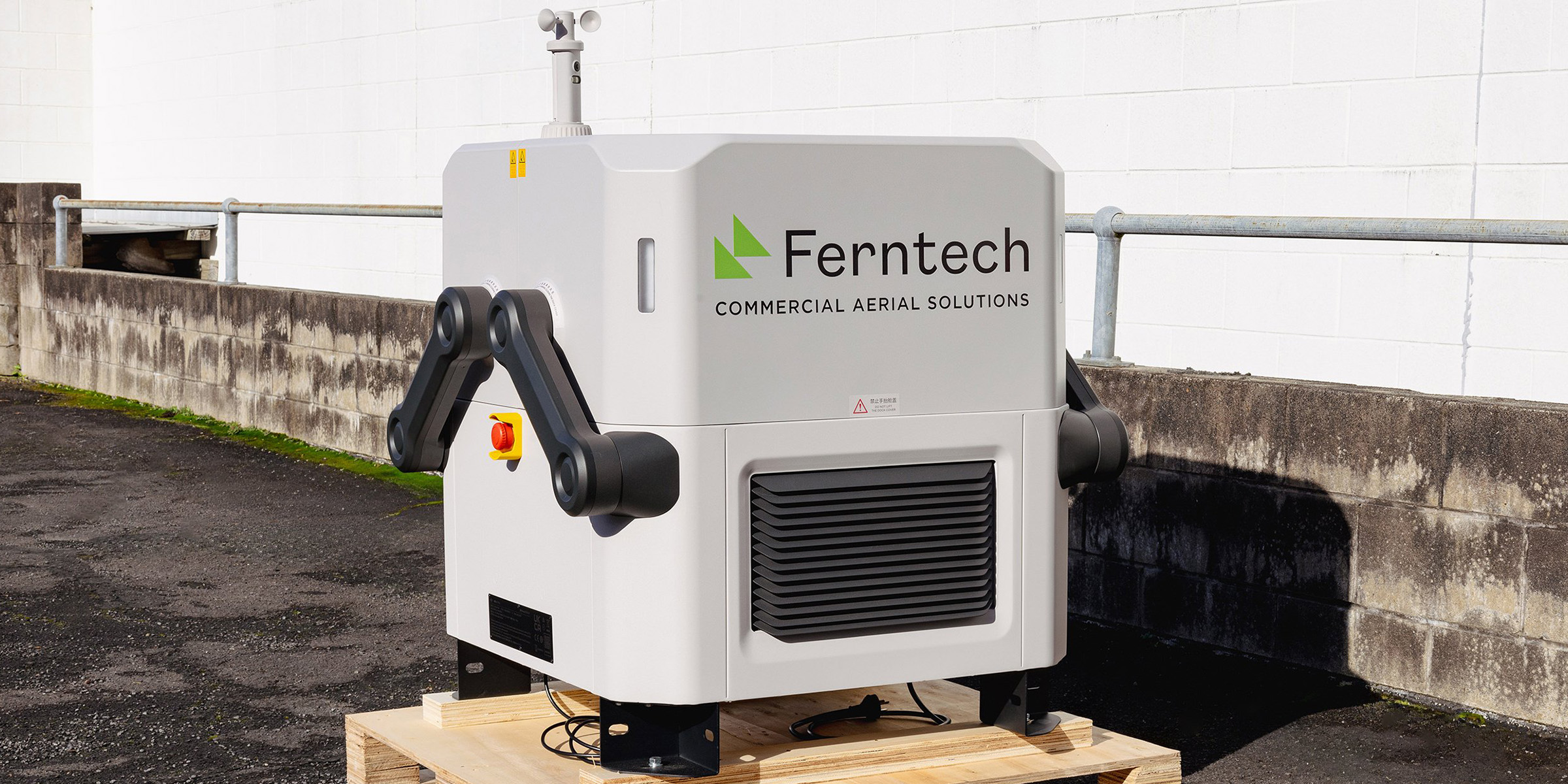
The new DJI Dock 3 delivers superior performance and further enhances the possibilities of remote drone operations in New Zealand – read our blog now to learn more.

Read our blog now to see a detailed comparison between the Matrice 4 Series and Mavic 3 Enterprise Series drones, and learn which is best for surveying, mapping, and inspections.

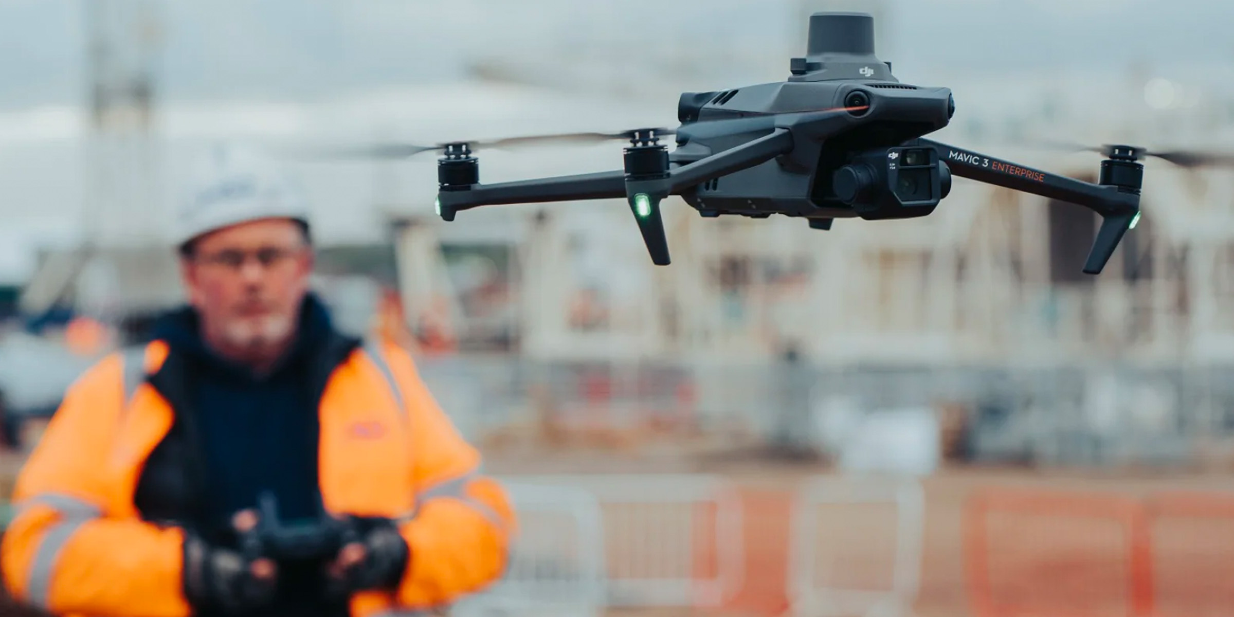
The new DJI Matrice 4 Series is here, and it offers a significant upgrade to the Mavic 3 Enterprise platform – read our blog now to learn more.

Recon has embraced aerial drone and LiDAR technology for more efficient, cost-effective visual data capture. Read our case study now to learn more.

Delivering large improvements in speed, safety, precision, and cost, airborne gas detection solutions hold the key to effectively monitoring and managing methane emissions – learn more here.

FlightHub 2 is DJI’s complete ground-to-cloud drone operations management software, with tools to help you plan missions, stream data, and collaborate in real-time - learn more here.

DJI Terra is a popular all-in-one drone mapping solution, to understand it better, read our top FAQ's to see how it can improve your 3D modeling experience.

If you're a professional surveyor using drones, understanding NZ's CAA requirements is crucial for safe and legal drone operation. Follow our useful guide to fly drones safely and efficiently in NZ.

As New Zealand’s exclusive DJI Dock 2 distributor, we’re excited to bring this game-changing drone-in-a-box technology to our shores – read our blog now to learn more!
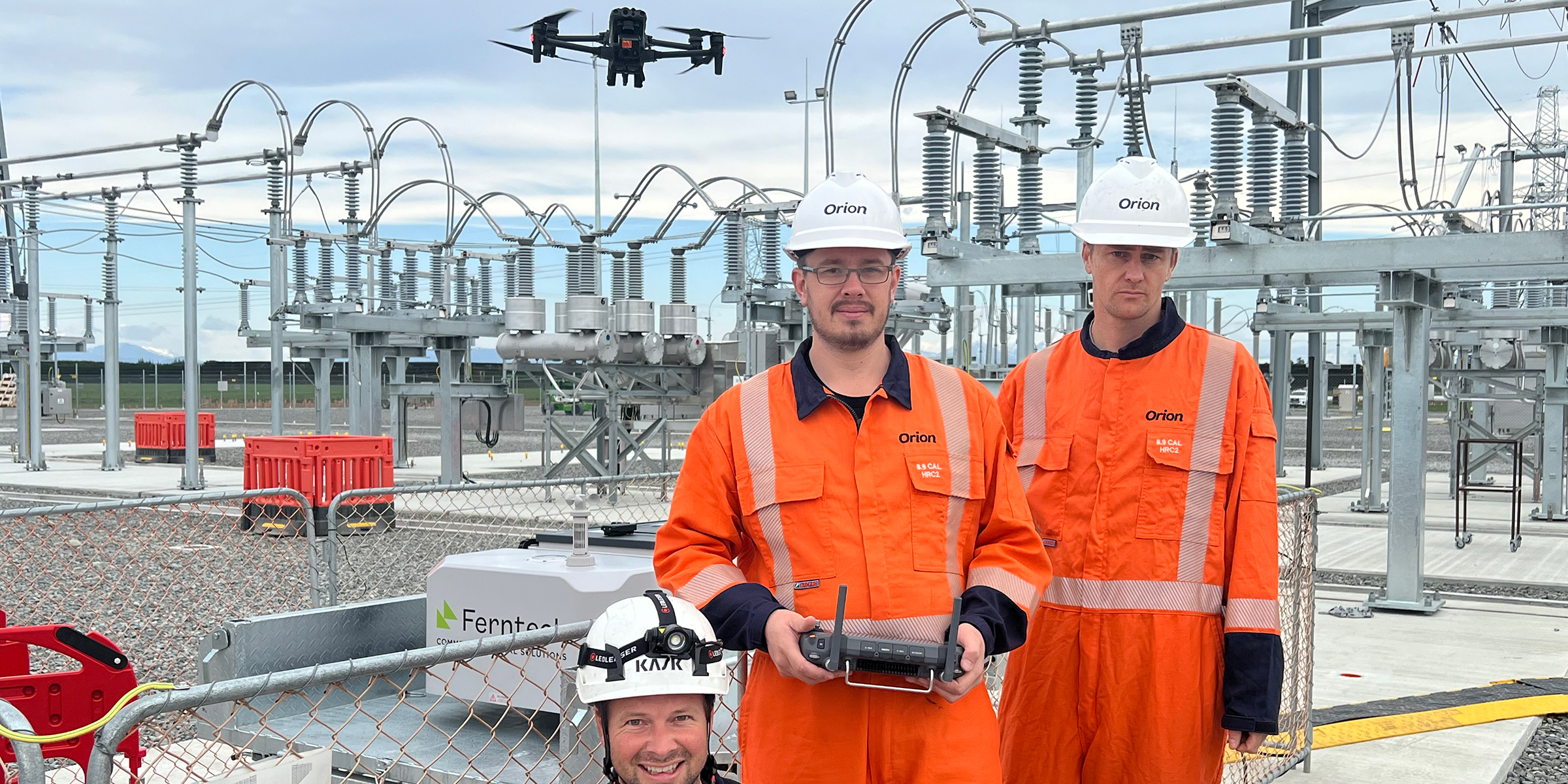
Ferntech recently collaborated with Orion NZ to deliver an "outside the box" solution – NZ's first DJI Dock – to monitor their new Grid Exit Point at Norwood. Read our case study now to learn more.
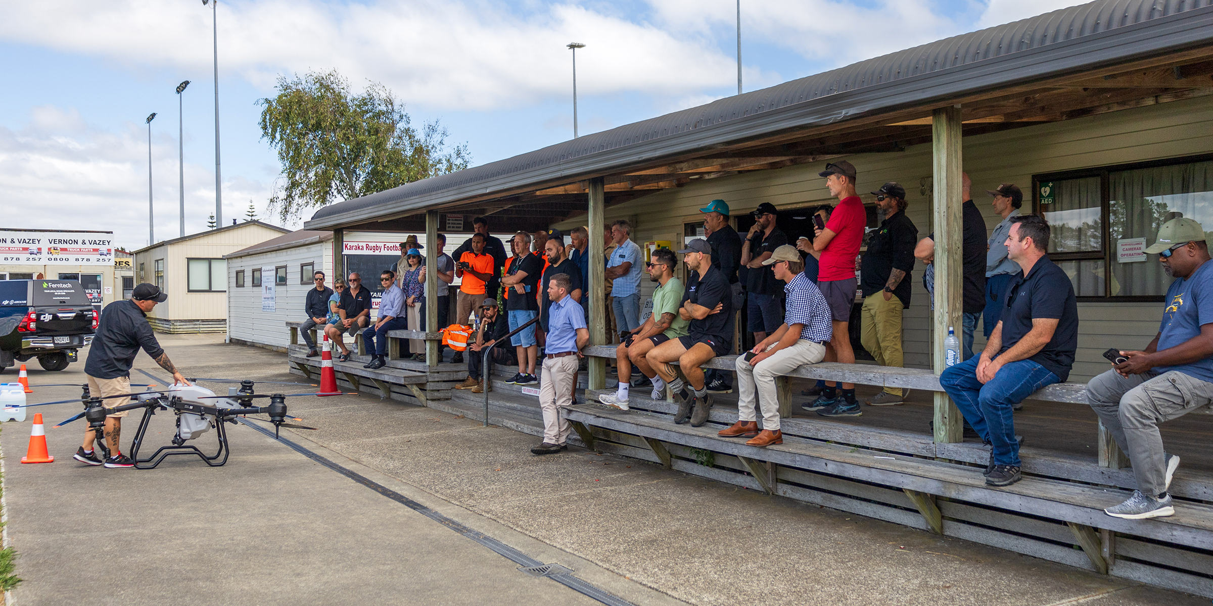
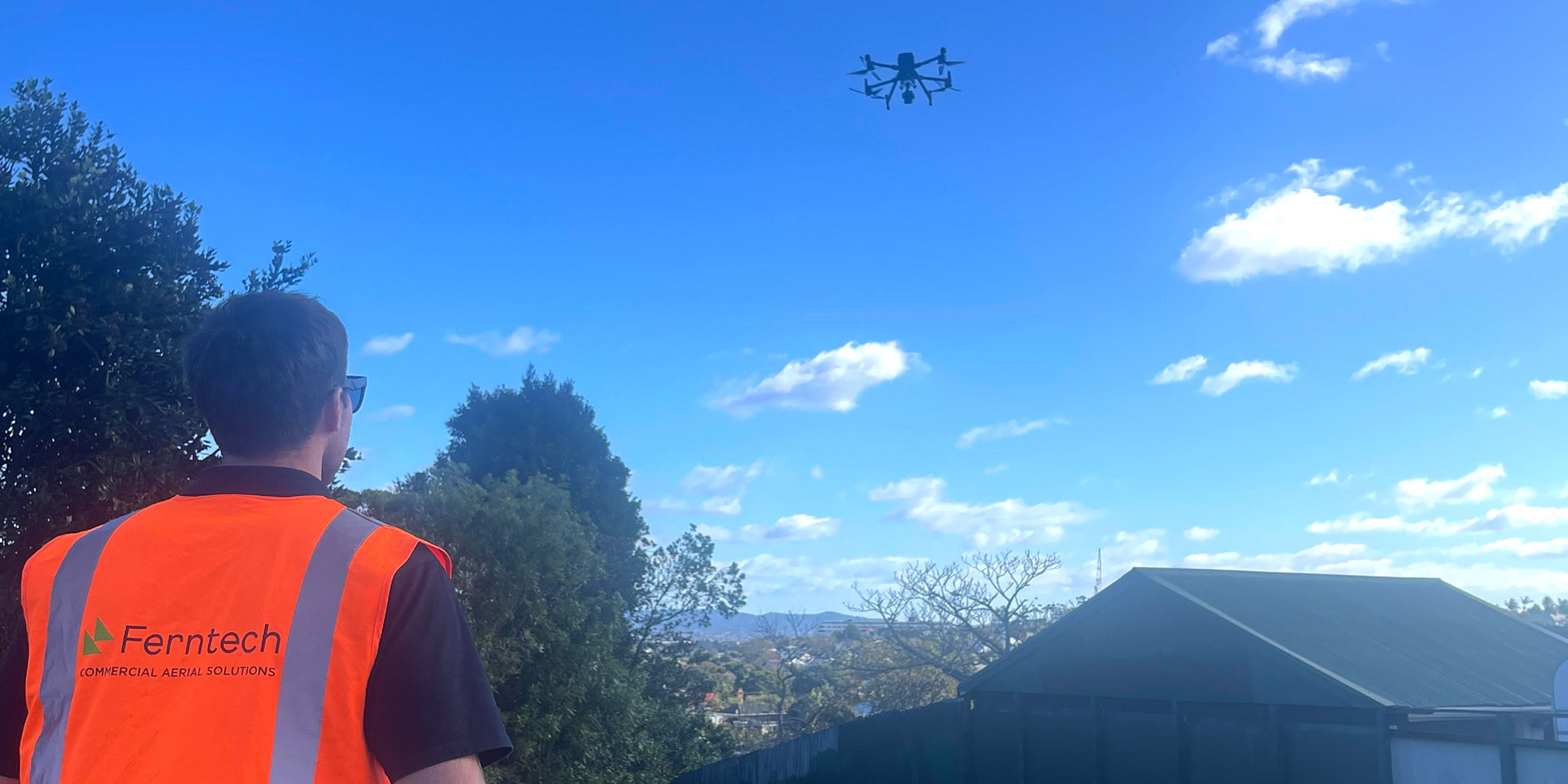
Our live commercial drone demos are an opportunity to meet and connect with people across New Zealand - check out these highlights from the latest Auckland live demo in February, 2024!
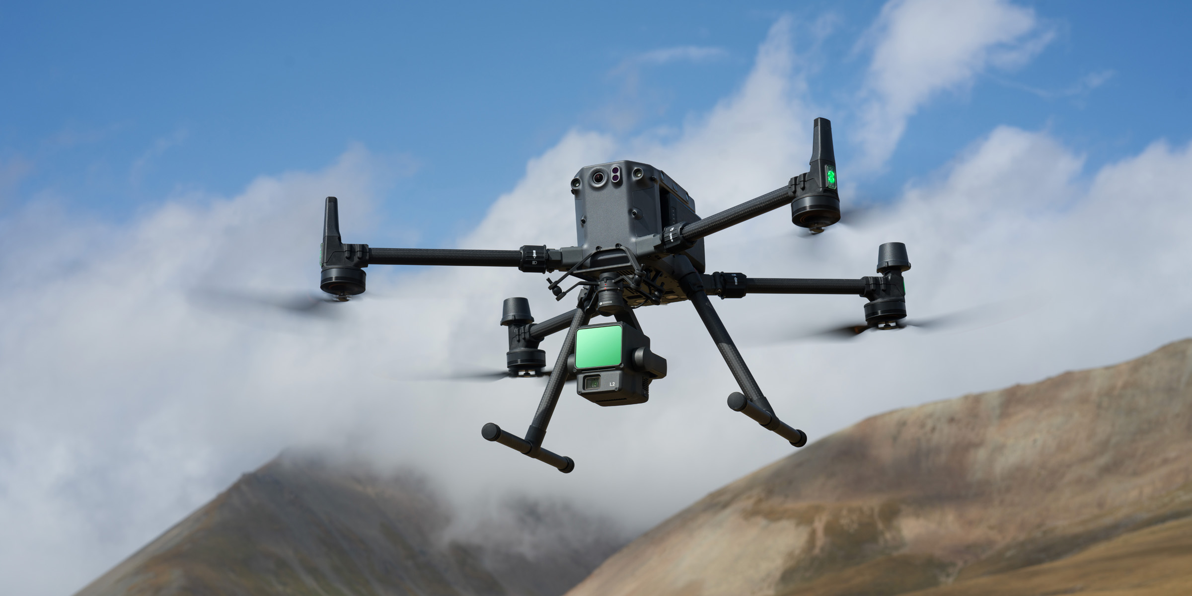
DJI has just released a major firmware upgrade (v02.00.0001) for the Zenmuse L2 LiDAR, and as your trusted DJI Enterprise Reseller in New Zealand we're excited to bring you all the details.
Share UAV PSDK 102S V3 is a professional aerial surveying camera - read our blog to find out how it delivers faster, more accurate photogrammetry results.
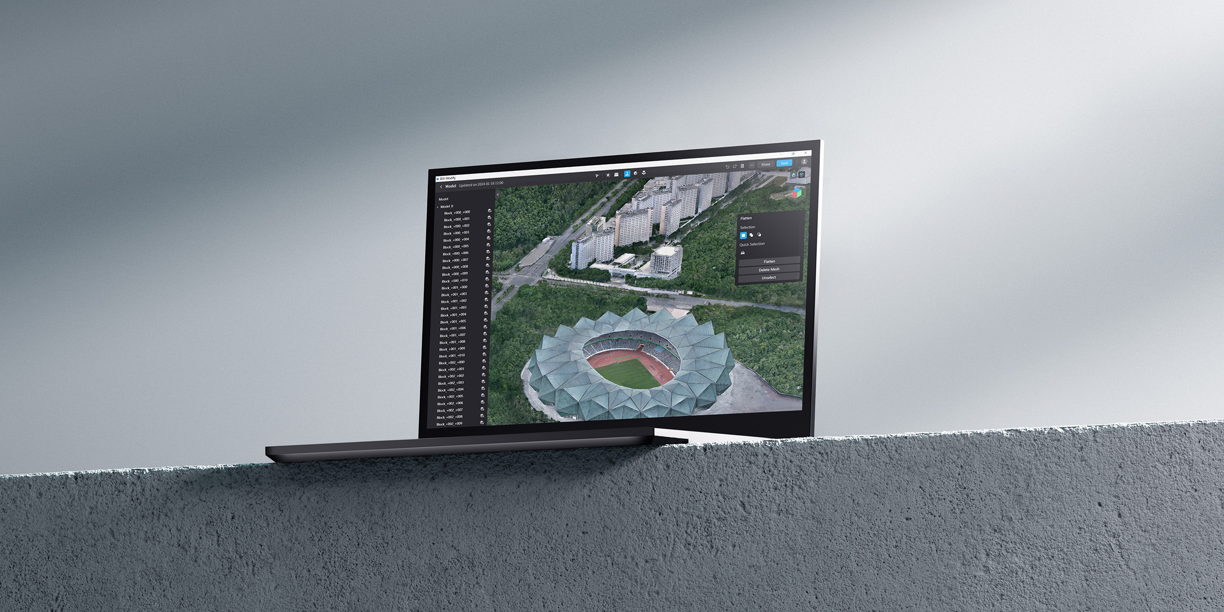
DJI Modify is an intelligent 3D model editing software that seamlessly integrates with DJI drones and DJI Terra. Read our blog now to learn more about this 3D modelling and mapping solution.
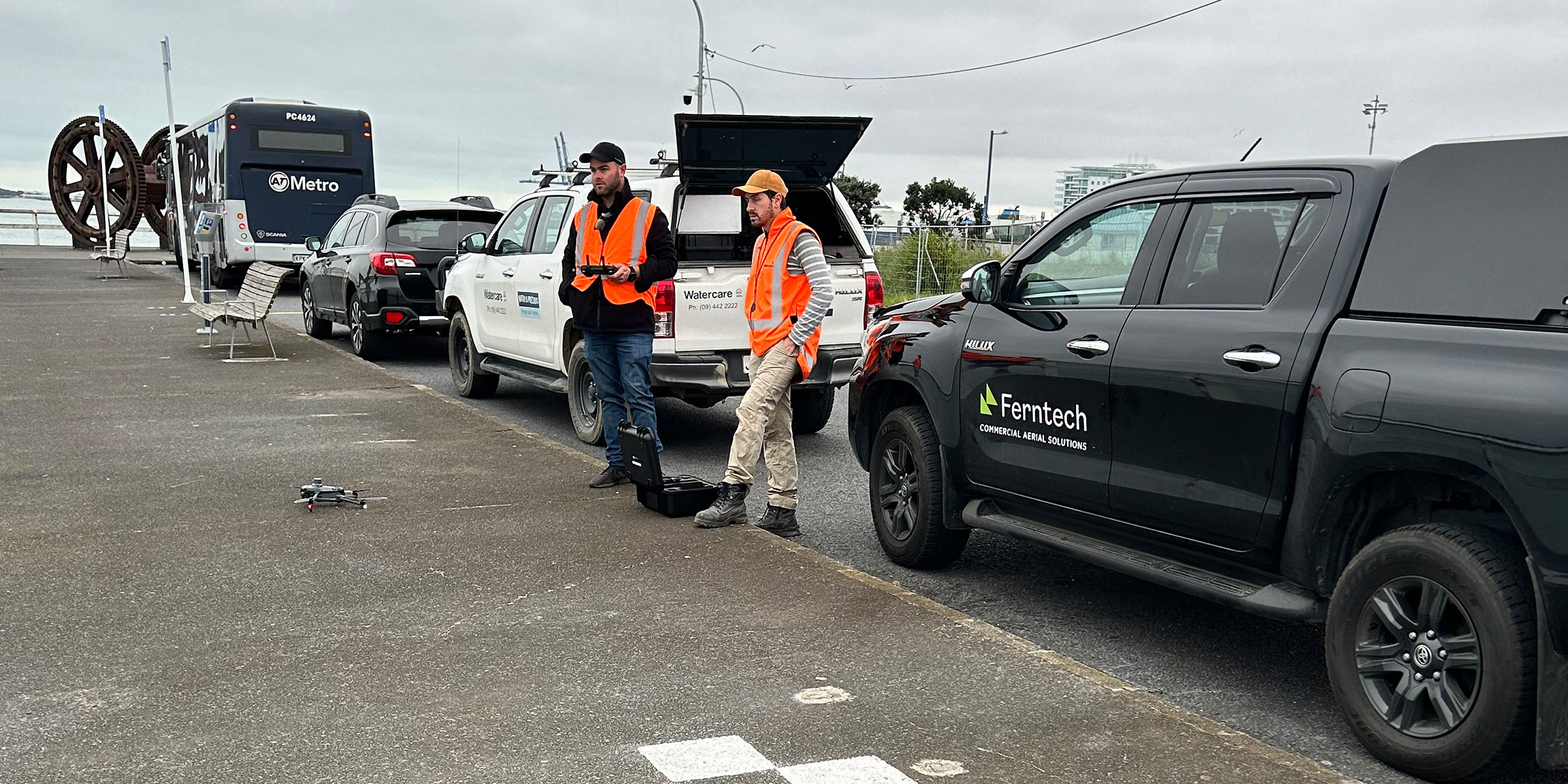
Read our blog now to learn how we collaborated with Watercare for the collapsed Orakei wastewater pipe emergency response, using drones to deliver a positive project outcome.
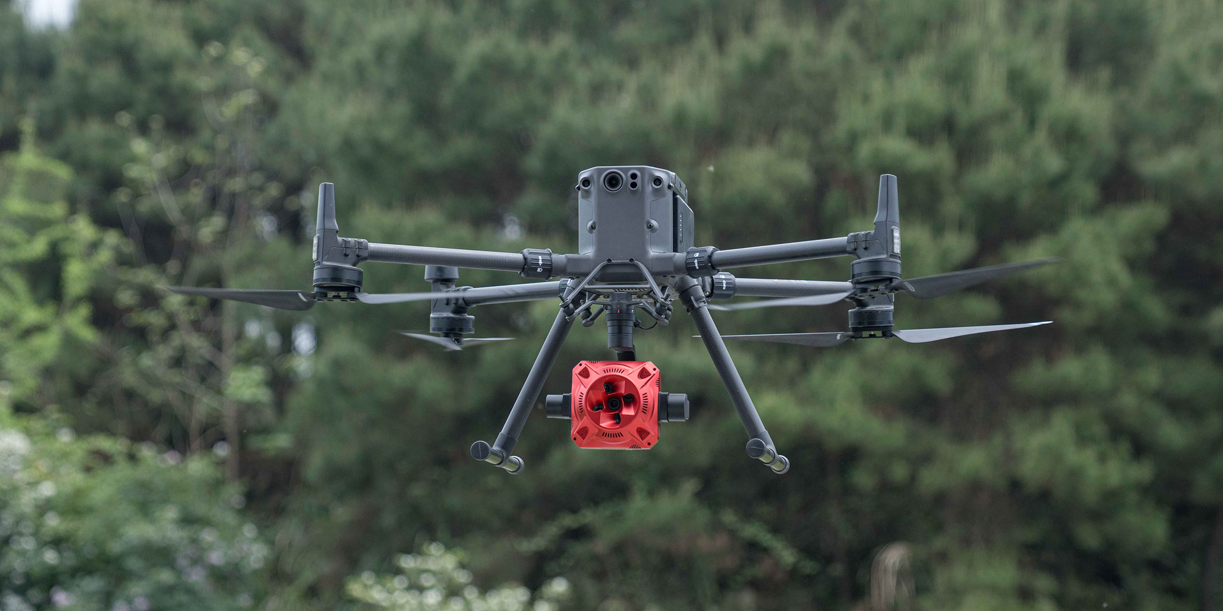
DJI Zenmuse L2 builds on what made the L1 so successful, delivering an aerial LiDAR solution that offers greater precision, efficiency, and reliability. Learn their main differences now.
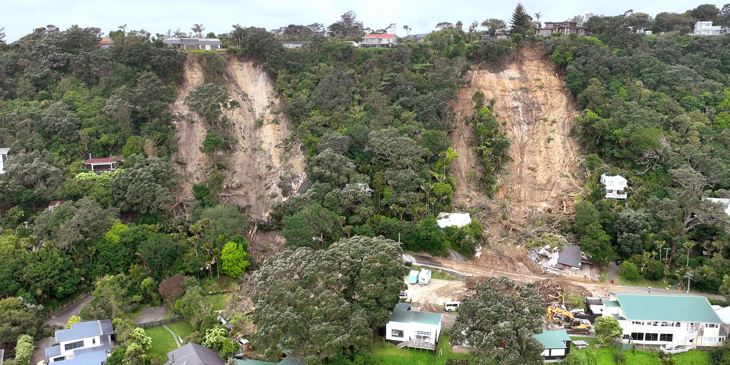
What are the best options available if you need a slip survey, and how is drone and LiDAR technology delivering faster, safer, and more accurate results? Read our full case study now to find out.
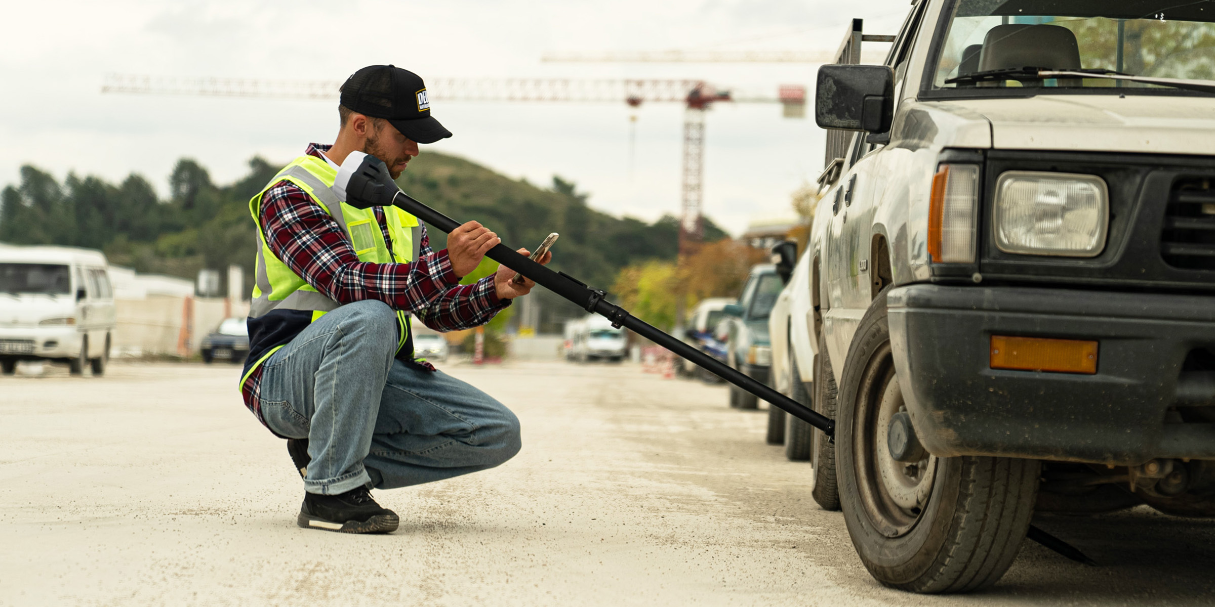
Emlid has released the new Reach RS3 GNSS receiver, complete with game-changing IMU tilt compensation. Read our blog now for an overview of the Emlid RS3’s key features and capabilities.
We’re proud to bring this revolutionary platform to industries across New Zealand. Trinity Pro's arrival marks a significant stride towards realising the full potential of aerial intelligence.
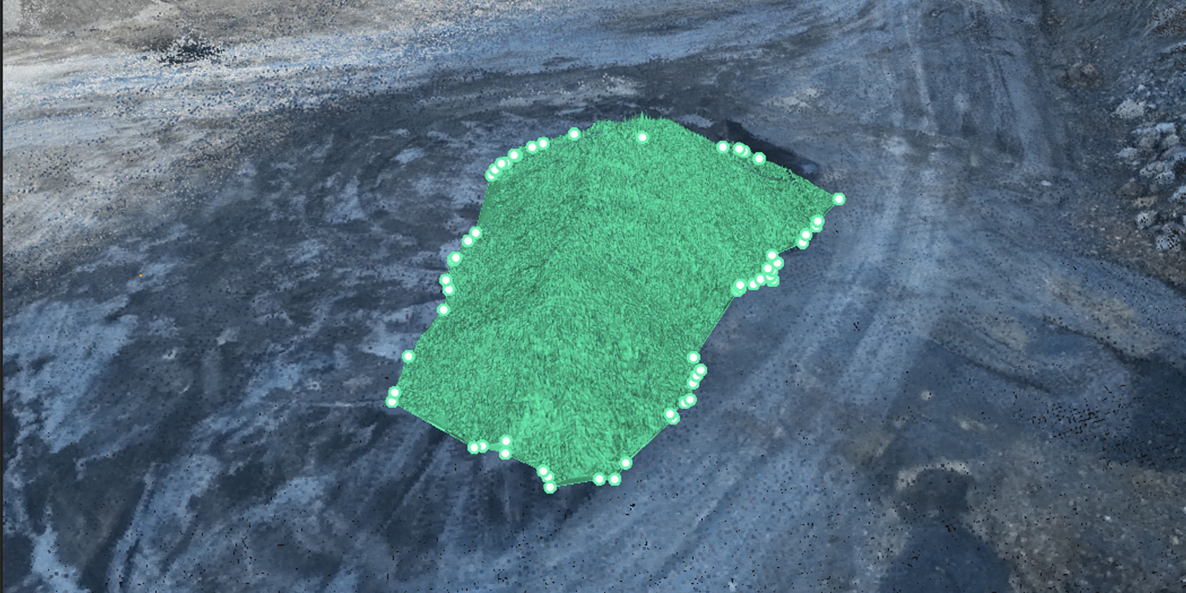
Precise stockpile measurement is an essential part of operations for a wide range of industries. Read now to learn how drone and software solutions are revolutionising this vital technique.
Learn how surveyors, contractors, and local councils can use drones for more effective emergency and disaster response, gaining fast, accurate data on impacted areas and infrastructure.
What are the key differences between the DJI Matrice 300 RTK and DJI Matrice 350 RTK, and do you need to upgrade your drone? Read our latest blog to find out.
The DJI Dock is the first of its kind in New Zealand – a portable, autonomous drone base station. Read our blog to learn how the DJI Dock increases efficiencies and safety across industries.
Read our case study to see how Balfour Beatty VINCI (BBV) will achieve an estimated $10 million (£5 million) using DJI drones on the UK's HS2 infrastructure project.

Read our blog to learn the key differences between the DJI Mavic 3 Enterprise and DJI Phantom 4 RTK, and find out why you should upgrade to the DJI Mavic 3 Enterprise today.


